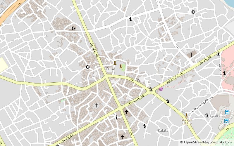
Mosul District, Mosul
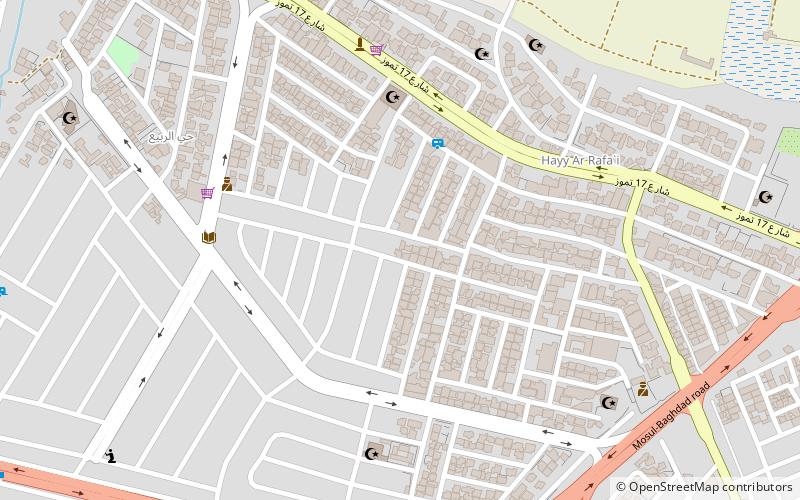
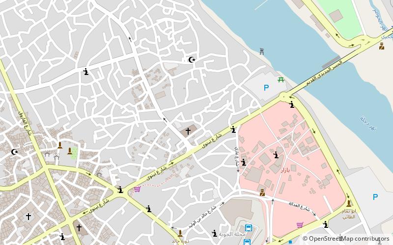
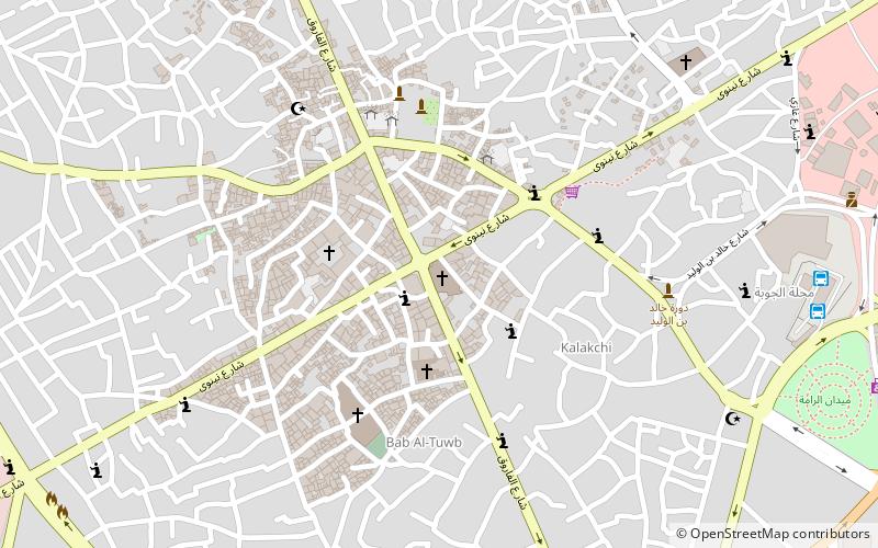
Map
Facts and practical information
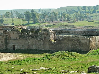
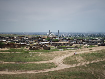
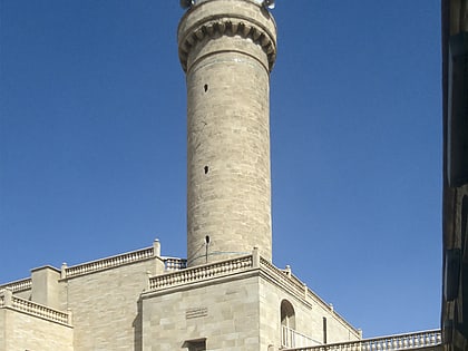
Mosul District is a district in Nineveh Governorate, Iraq. Its administrative center is the city of Mosul. Other settlements include Al-Qayyarah, Al-Shurah, Hamam al-Alil, Al-Mahlaah, and Hamidat. The district is predominantly Sunni Arab, with minorities of Assyrians, Turkmen and Kurds located in the city of Mosul. ()
Address
Mosul
ContactAdd
Social media
Add
Day trips
Mosul District – popular in the area (distance from the attraction)
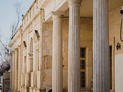
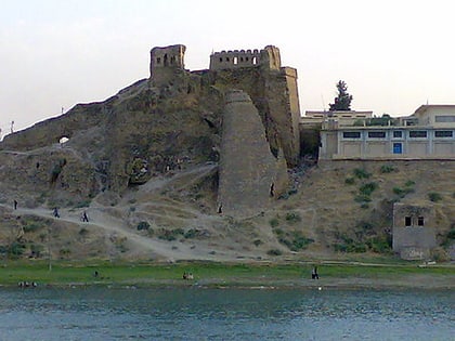
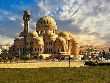
Nearby attractions include: Monastery of Saint Elijah, Nineveh, Mosul Museum, Al-Tahera Church.
Frequently Asked Questions (FAQ)
How to get to Mosul District by public transport?
The nearest stations to Mosul District:
Bus
Bus
- الساحل الايمن (28 min walk)
