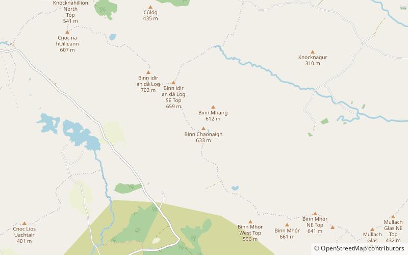
Binn Chaonaigh
Map

Map

Facts and practical information
Binn Chaonaigh is one of the Maumturk Mountains of Connemara in County Galway, Ireland. At 633 metres, it is the fourth-highest of the Maumturks, the 185th-highest peak in Ireland on the Arderin list, and the 223rd-highest on the Vandeleur-Lynam list. It is in the middle sector of the long north-west to south-east spine of the Maumturks. ()
Elevation: 2077 ftProminence: 354 ftCoordinates: 53°30'10"N, 9°39'29"W
Location
Galway
ContactAdd
Social media
Add
Day trips
Binn Chaonaigh – popular in the area (distance from the attraction)
Nearby attractions include: Leenaun Hill, Glendollagh Lough, Loch Na Fooey, Lissoughter.


