Slieve Snaght
Map

Map

Facts and practical information
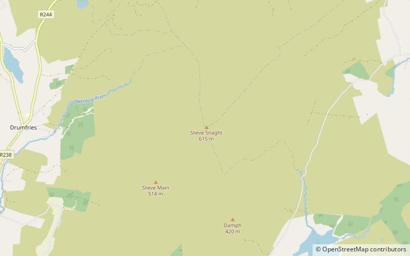
Slieve Snaght is a mountain in the middle of the Inishowen peninsula of County Donegal, Ireland. It rises to a height of 615 metres, making it the highest mountain in Inishowen, and is one of the northernmost mountains of Ireland. It should not be confused with the mountain of the same name in the nearby Derryveagh range. It includes the lesser summits of Slieve Main, Crocknamaddy and Damph. ()
Elevation: 2018 ftProminence: 1969 ftCoordinates: 55°11'46"N, 7°20'5"W
Location
Donegal
ContactAdd
Social media
Add
Day trips
Slieve Snaght – popular in the area (distance from the attraction)
Nearby attractions include: Buncrana Golf Club, Ned's Point Fort, Carndonagh, Raghtin More.


