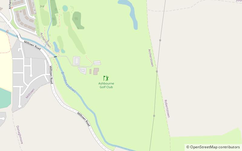
Ashbourne Golf Club, Ashbourne

Gallery (1)
Map
Map
Facts and practical information
Ashbourne Golf Club is a place located in Ashbourne (Meath county) and belongs to the category of outdoor activities, golf.
It is situated at an altitude of 217 feet, and its geographical coordinates are 53°30'13"N latitude and 6°22'39"W longitude.
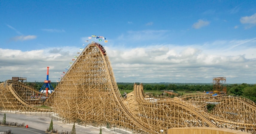
Among other places and attractions worth visiting in the area are: Fairyhouse Racecourse, Ratoath (outdoor activities, 99 min walk), Tayto Park (theme park, 114 min walk), Loch Gabhair (archaeological site, 136 min walk).
Coordinates: 53°30'13"N, 6°22'39"W
Day trips