Milltown Bridge, Dublin
Map

Gallery

Facts and practical information
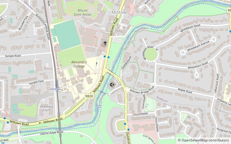
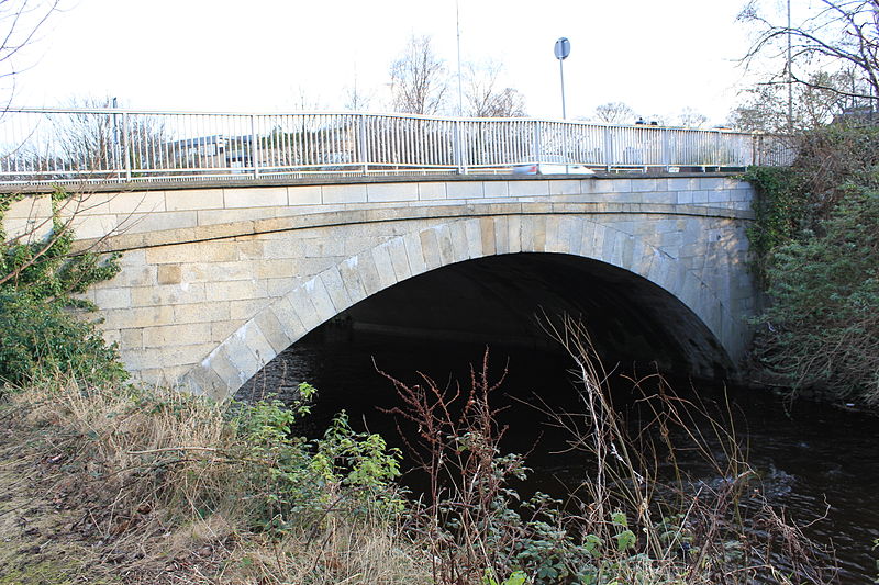
Milltown Bridge is a bridge over the River Dodder in Milltown, Dublin. The bridge is on the Dundrum Road, part of the R117. The bridge also includes a pedestrian underpass. ()
Coordinates: 53°18'38"N, 6°14'50"W
Address
Milltown Parish Centre & Churchtown Quaker meeting houseDublin
ContactAdd
Social media
Add
Day trips
Milltown Bridge – popular in the area (distance from the attraction)
Nearby attractions include: Donnybrook Stadium, Mount Pleasant Square, Belgrave Square, Ahlul Bayt Islamic Centre.
Frequently Asked Questions (FAQ)
Which popular attractions are close to Milltown Bridge?
Nearby attractions include Ahlul Bayt Islamic Centre, Dublin (2 min walk), Nine Arches Bridge, Dublin (6 min walk), Classon's Bridge, Dublin (9 min walk), Palmerston Park, Dublin (14 min walk).
How to get to Milltown Bridge by public transport?
The nearest stations to Milltown Bridge:
Tram
Bus
Tram
- Milltown • Lines: Luas Green Line (5 min walk)
- Cowper • Lines: Luas Green Line (13 min walk)
Bus
- #880 Clonskeagh Rd, Whitebeam Rd • Lines: 11 (10 min walk)
- #859 Clonskeagh Rd, Whitethorn Road • Lines: 11 (10 min walk)


