Brandon Hill, Graignamanagh

Gallery (2)
Map
Map
Gallery
Facts and practical information
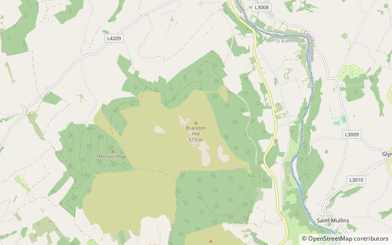
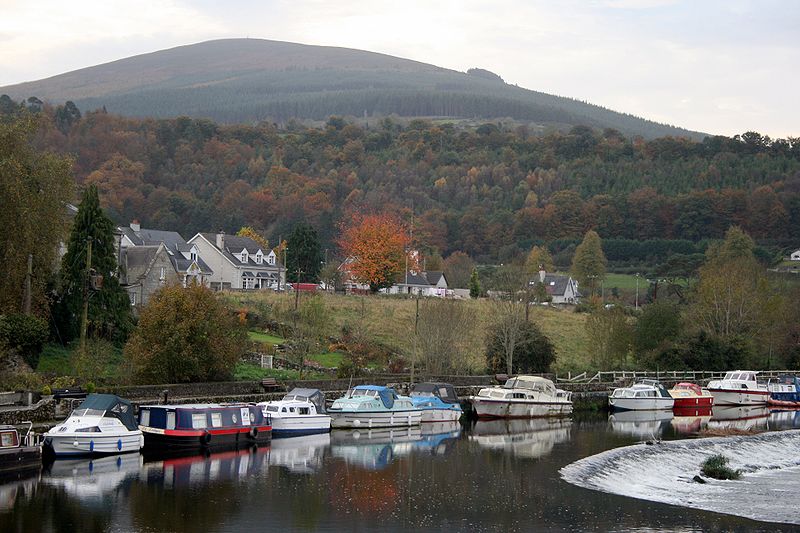
Brandon Hill is the highest mountain in County Kilkenny, Ireland, with an elevation of 515 m and prominence at 448 m. The South Leinster Way, a long-distance trail, meandering through the Barrow Valley and traverses Brandon Hill. The village of Graiguenamanagh and River Barrow are at the base of the hill. It is classified as a county high point, an Arderin, a Myrddyn Dewey, and a Marilyn. ()
Address
Graignamanagh
ContactAdd
Social media
Add
Day trips