Músaem Chorca Dhuibhne, Dingle

Gallery (1)
Map
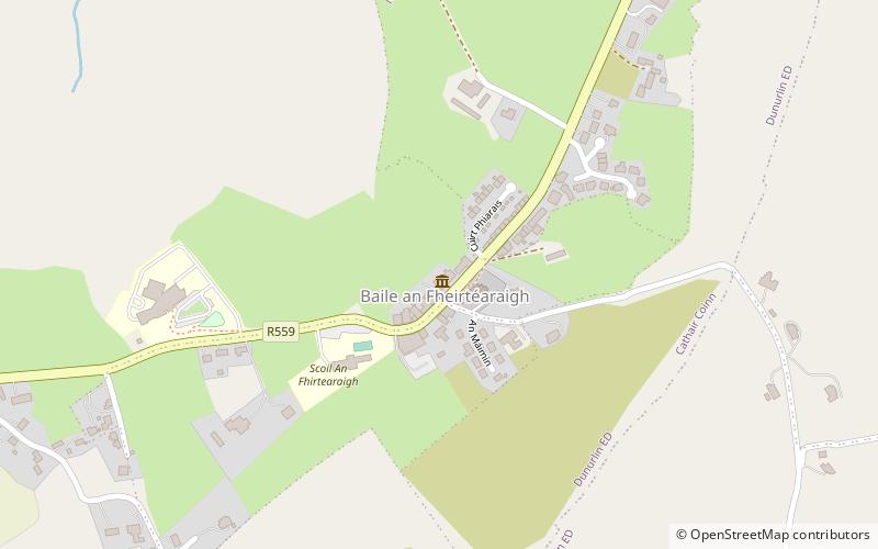
Map
Facts and practical information
Músaem Chorca Dhuibhne (address: Baile an Fheirtéaraigh) is a place located in Dingle (Kerry county) and belongs to the category of museum.
It is situated at an altitude of 98 feet, and its geographical coordinates are 52°9'60"N latitude and 10°24'22"W longitude.
Among other places and attractions worth visiting in the area are: Reask (archaeological site, 20 min walk), Ferriter's Cove (prehistoric site, 45 min walk), Gallarus Castle (forts and castles, 57 min walk).
Coordinates: 52°9'60"N, 10°24'22"W
Day trips