St Kieran's College, Kilkenny
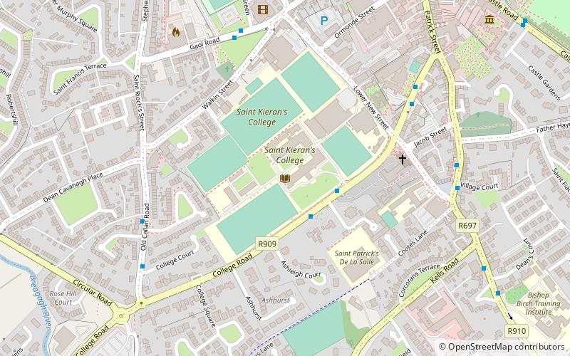
Map

Map

Facts and practical information
St Kieran's College is a Roman Catholic secondary school, located on College Road, Kilkenny, County Kilkenny, Ireland. ()
Coordinates: 52°38'48"N, 7°15'21"W
Day trips
St Kieran's College – popular in the area (distance from the attraction)
Nearby attractions include: Kilkenny Castle, St Canice's Cathedral, St Mary's Cathedral, Rothe House.
Frequently Asked Questions (FAQ)
Which popular attractions are close to St Kieran's College?
Nearby attractions include Butler House, Kilkenny (7 min walk), The Blackbird Gallery, Kilkenny (9 min walk), Shee Alms House, Kilkenny (10 min walk), The Tholsel, Kilkenny (10 min walk).
How to get to St Kieran's College by public transport?
The nearest stations to St Kieran's College:
Bus
Train
Bus
- College Road • Lines: Kk1 (2 min walk)
- Kilkenny • Lines: 717, 73, 871, 873, Kk1 (5 min walk)
Train
- Kilkenny MacDonagh (19 min walk)
- MacDonagh Railway Station (19 min walk)


