National Museum of Ireland, Dublin
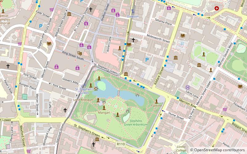
Map
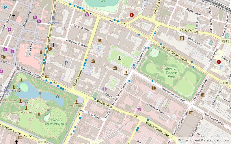
Map

Facts and practical information
The National Museum of Ireland is Ireland's leading museum institution, with a strong emphasis on national and some international archaeology, Irish history, Irish art, culture, and natural history. It has three branches in Dublin, the archaeology and natural history museums adjacent on Kildare Street and Merrion Square, and a newer Decorative Arts and History branch at the former Collins Barracks, and the Country Life museum in County Mayo. ()
Day trips
National Museum of Ireland – popular in the area (distance from the attraction)
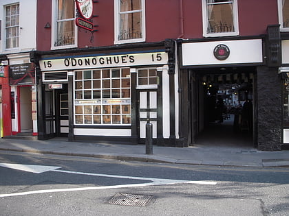
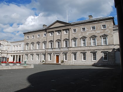
Nearby attractions include: Natural History Museum, O'Donoghue's, Dawson Street, National Gallery of Ireland.
Frequently Asked Questions (FAQ)
Which popular attractions are close to National Museum of Ireland?
Nearby attractions include Natural History Museum, Dublin (1 min walk), Merrion Street, Dublin (2 min walk), National Museum of Ireland – Archaeology, Dublin (2 min walk), Huguenot Cemetery, Dublin (3 min walk).
How to get to National Museum of Ireland by public transport?
The nearest stations to National Museum of Ireland:
Bus
Tram
Train
Bus
- Merrion Street Upper • Lines: 120A, 120E, 120F, 126E, 126X, 130, 133, 133X (2 min walk)
- Kildare Street • Lines: 125 (3 min walk)
Tram
- Dawson • Lines: Luas Green Line (7 min walk)
- St. Stephen's Green • Lines: Luas Green Line (9 min walk)
Train
- Dublin Pearse (9 min walk)
- Tara Street (14 min walk)


