Lough Owel
Map
Map

Facts and practical information
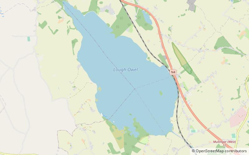
Lough Owel is a mesotrophic lough in the Midlands of Ireland, situated north of Mullingar, the county town of Westmeath. It has a maximum depth of 21 metres. Water from Lough Owel feeds the Royal Canal, a canal crossing Ireland from Dublin to the River Shannon. The lake is close to the N4 primary road. ()
Alternative names: Length: 3.73 miWidth: 9843 ftMaximum depth: 69 ftElevation: 315 ft a.s.l.Coordinates: 53°34'25"N, 7°23'31"W
Location
Westmeath
ContactAdd
Social media
Add
Day trips
Lough Owel – popular in the area (distance from the attraction)
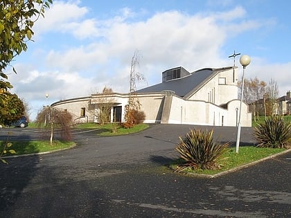
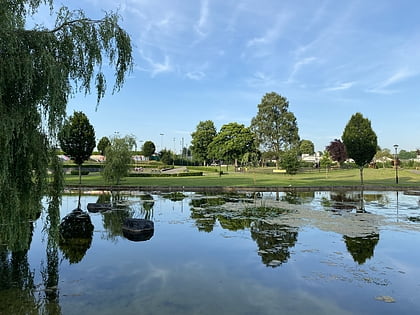
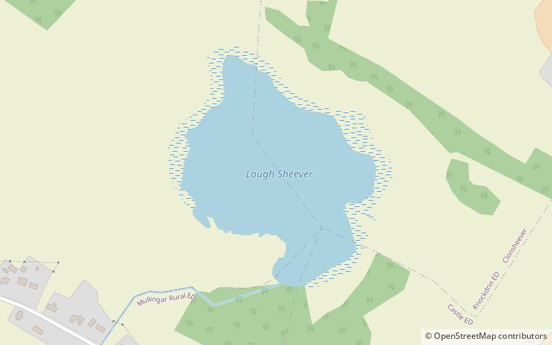
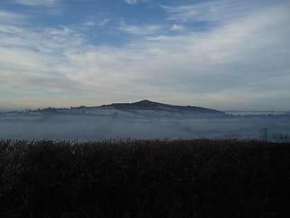
Nearby attractions include: Mullingar Greyhound Stadium, Cathedral of Christ the King, Harbour Place Shopping Centre, Famine Memorial Fountain.


