Lough Derg

Gallery (1)
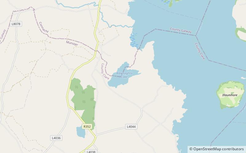
Map
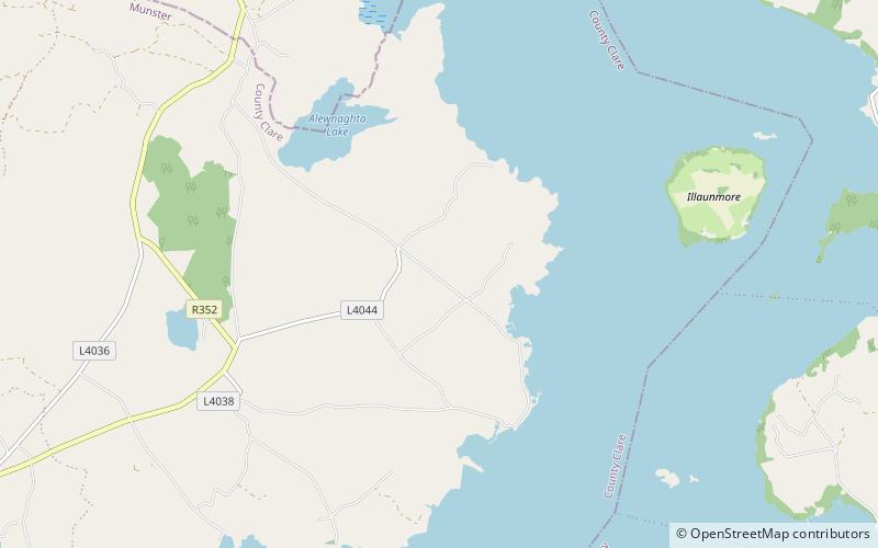
Map
Facts and practical information
Lough Derg, historically Lough Dergart, is a freshwater lake in the Shannon River Basin, Ireland. It is the third-biggest on the island of Ireland. ()
Alternative names: Area: 45.56 mi²Length: 23.98 miWidth: 8.02 miMaximum depth: 118 ftElevation: 121 ft a.s.l.Coordinates: 52°57'28"N, 8°20'27"W
Location
Clare
ContactAdd
Social media
Add
Day trips