Ankers Bower, Athlone
Map
Map

Facts and practical information
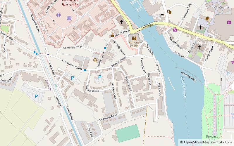
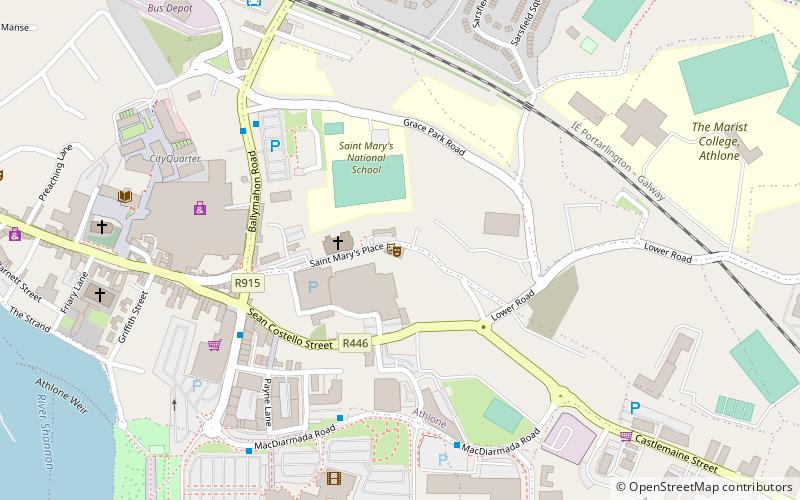
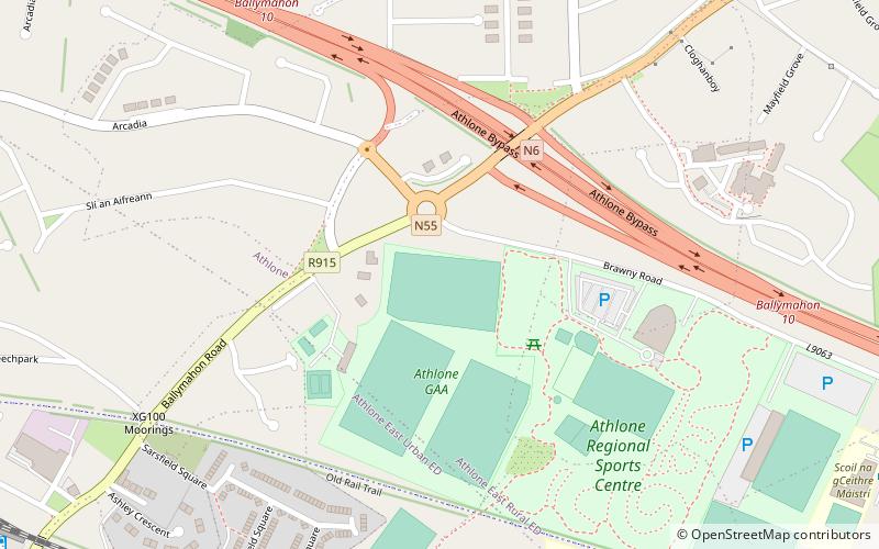
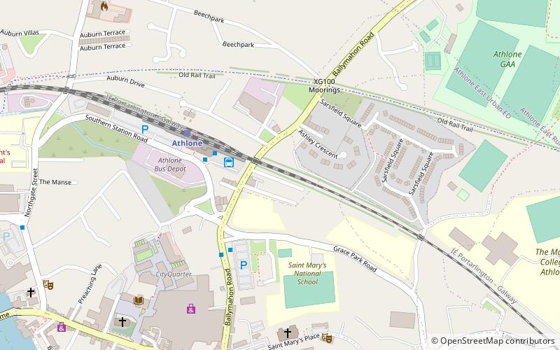
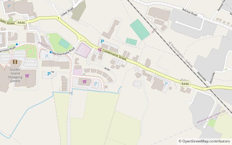
Ankers Bower is a townland and hill in St. Mary's civil parish in the barony of Brawny, County Westmeath, Ireland. It is partly within the former urban district of Athlone. The name may derive from John Ankers, who was vicar of St. Mary's in 1608. ()
Coordinates: 53°25'12"N, 7°55'32"W
Address
Athlone
ContactAdd
Social media
Add
Day trips
Ankers Bower – popular in the area (distance from the attraction)
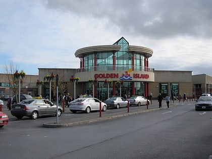
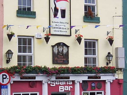
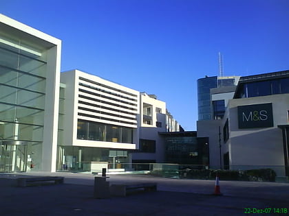
Nearby attractions include: Golden Island Shopping Centre, Sean's Bar, Athlone Towncentre, IRA Memorial.
Frequently Asked Questions (FAQ)
Which popular attractions are close to Ankers Bower?
Nearby attractions include Athlone Little Theatre, Athlone (9 min walk), Cloghanboy West, Athlone (14 min walk), IRA Memorial, Athlone (17 min walk), Cloghanboy, Athlone (18 min walk).
How to get to Ankers Bower by public transport?
The nearest stations to Ankers Bower:
Bus
Train
Bus
- Athlone Bus Station • Lines: 20, X20 (16 min walk)
Train
- Athlone (17 min walk)
