Kilmashogue, Dublin
Map

Map

Facts and practical information
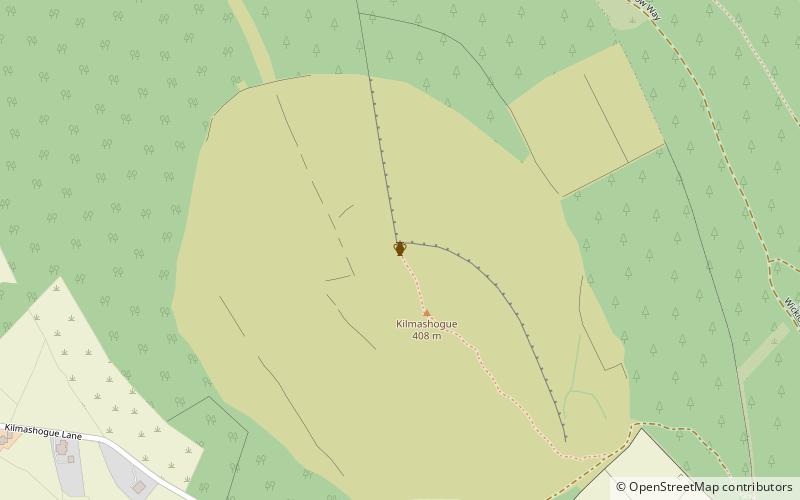
Kilmashogue or Kilmashoge is a mountain in Dún Laoghaire–Rathdown county in Ireland. It is 408 metres high and forms part of the group of hills in the Dublin Mountains which comprises Two Rock, Three Rock, Kilmashogue and Tibradden Mountains. The forest plantation on its northern slope, which is composed mainly of Sitka spruce, Scots pine and beech, is a habitat for Sika deer, hares, rabbits and foxes. A number of prehistoric monuments can be found on the slopes of the mountain. ()
Elevation: 1339 ftCoordinates: 53°15'6"N, 6°16'4"W
Address
Dublin
ContactAdd
Social media
Add
Day trips
Kilmashogue – popular in the area (distance from the attraction)
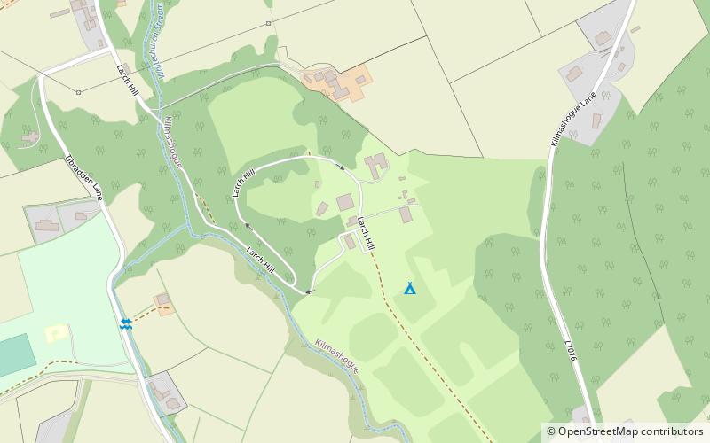
Nearby attractions include: Three Rock, Tibradden Mountain, Two Rock, Larch Hill.
Frequently Asked Questions (FAQ)
How to get to Kilmashogue by public transport?
The nearest stations to Kilmashogue:
Bus
Bus
- Blackglen Road • Lines: 114 (38 min walk)


