St. Doologe's, Wexford
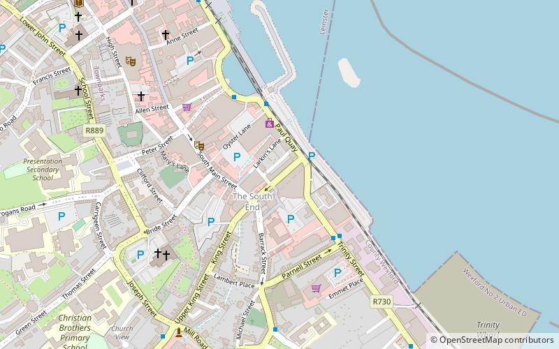
Map
Facts and practical information
St. Doologe's, also St. Doologue's, and formerly St. Tullogue's, or St. Euleck's, is a civil parish in the centre of Wexford town in Ireland. ()
Coordinates: 52°20'9"N, 6°27'27"W
Address
Wexford
ContactAdd
Social media
Add
Getting there by public transportation
Public transportation stops near this location
- Bus
- Train
 Bus
Bus
- Calculate routeWexford 15 min walk
- Calculate routeFerrybank 18 min walk
- Calculate routeWexford O'Hanrahan 15 min walk
Day trips
St. Doologe's – popular in the area (distance from the attraction)
Nearby attractions include: Wexford bridge, The National Opera House, Selskar Abbey, The Bullring Market Wexford.


Frequently Asked Questions (FAQ)
Which popular attractions are close to St. Doologe's?
Nearby attractions include The National Opera House, Wexford (7 min walk), The Bullring Market Wexford, Wexford (9 min walk), Wexford bridge, Wexford (13 min walk), Selskar Abbey, Wexford (13 min walk).
How to get to St. Doologe's by public transport?
The nearest stations to St. Doologe's:
Bus
Train
Bus
- Wexford • Lines: 2, 340, 376, 740, 877 (15 min walk)
- Ferrybank • Lines: 877 (18 min walk)
Train
- Wexford O'Hanrahan (15 min walk)