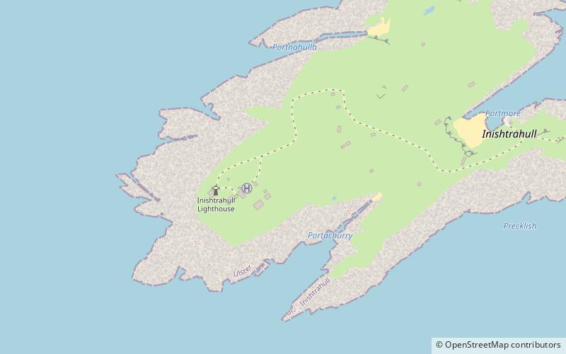
Inishtrahull Lighthouse, Inishtrahull
Map

Map

Facts and practical information
Inishtrahull Lighthouse is the northerly most lighthouse in Ireland located on the Inishtrahull Island off the coast of County Donegal. Coupled with the lighthouse on Tory Island they form the two main landfall lights for shipping from the Atlantic rounding the north coast of Ireland, and navigation to local shipping. Work on the first lighthouse, situated at the east end of the island began in 1812, primarily due to Royal Navy ships using Lough Foyle. ()
Coordinates: 55°25'53"N, 7°14'30"W
Address
Inishtrahull
ContactAdd
Social media
Add
Day trips
Inishtrahull Lighthouse – popular in the area (distance from the attraction)
Nearby attractions include: Wild Atlantic Way.

