Ballinlough
Map

Map

Facts and practical information
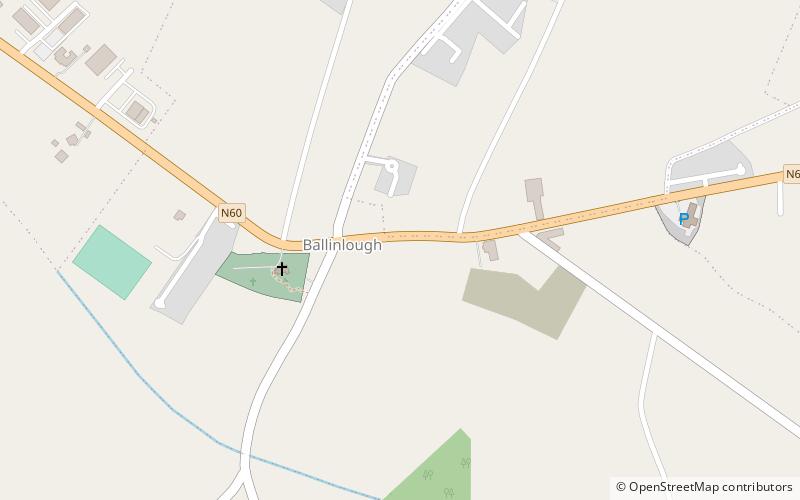
Ballinlough is a village in western County Roscommon, Ireland. The N60 national secondary road passes through it. The village is between Ballyhaunis and Castlerea on the Roscommon to Castlebar road. As of the 2016 census, Ballinlough had a population of 300 people. ()
Location
Roscommon
ContactAdd
Social media
Add
Day trips
Ballinlough – popular in the area (distance from the attraction)
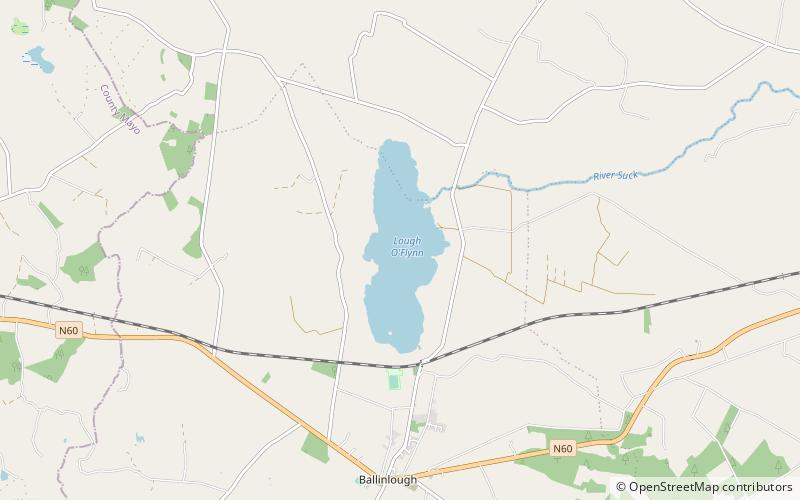
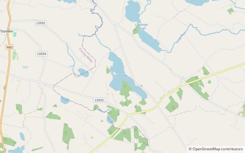
Nearby attractions include: Lough O'Flynn, Errit Lough, Clonalis House, Ballyhaunis.


