Carrigans
Map
![Carrigans location map](https://tzmedia.b-cdn.net/media/images/static-maps/ie/54_95_-7_43.jpg)
Map
![Carrigans location map](https://tzmedia.b-cdn.net/media/images/static-maps/ie/54_95_-7_43.jpg)
Facts and practical information
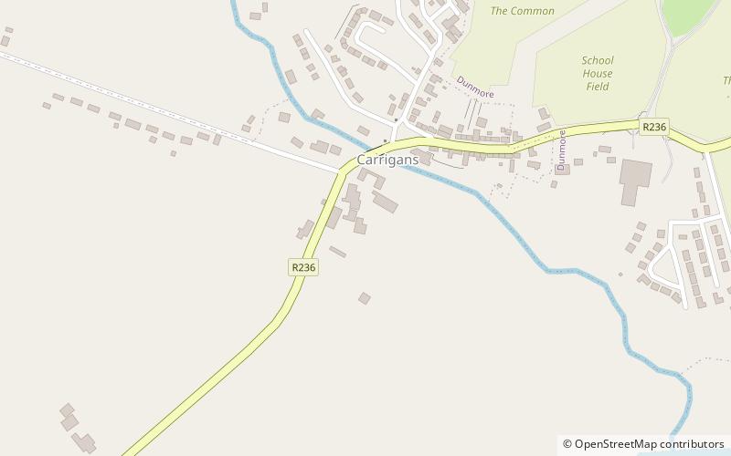
Carrigans is a village in The Laggan, a district in the east of County Donegal, Ireland. The village is located on the R236 regional road only a short distance from the River Foyle. ()
Day trips
Carrigans – popular in the area (distance from the attraction)
Nearby attractions include: Grianan of Aileach, Holywell Hill, Burt Castle, Mongavlin Castle.