Glashedy

Gallery (6)
Map


Map

Gallery
Facts and practical information
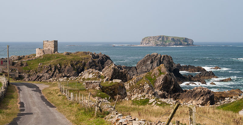
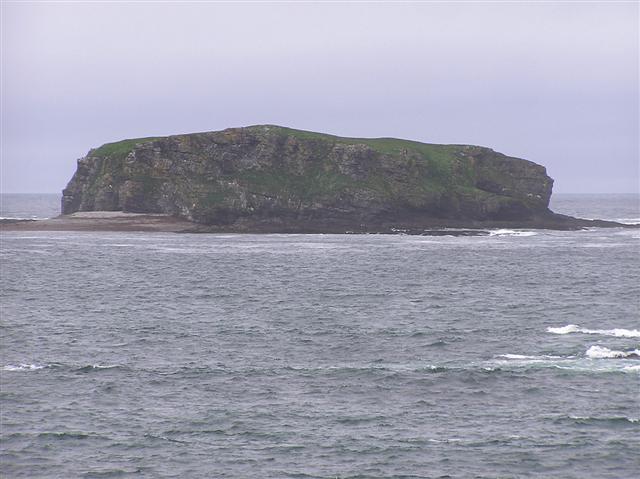
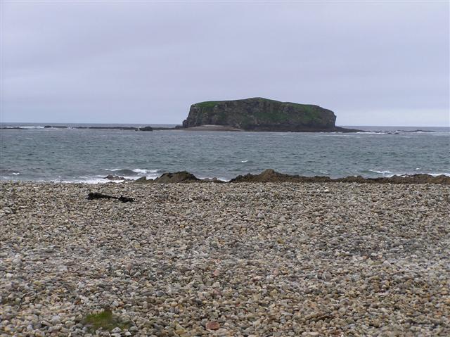
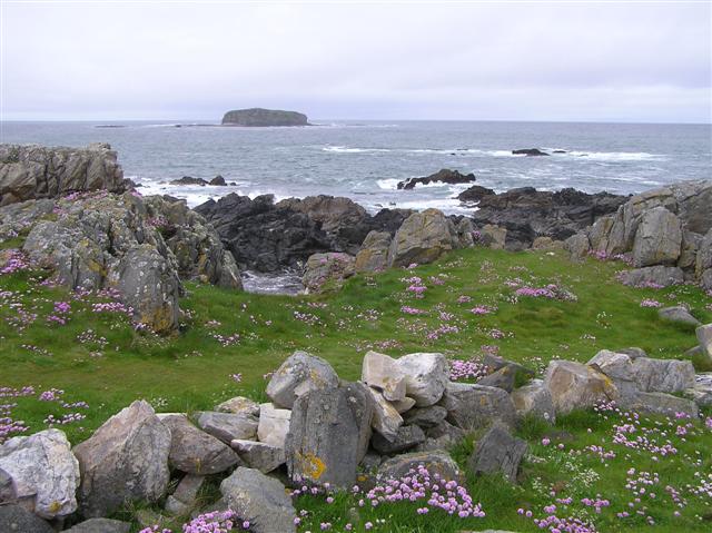
Glashedy Island is an uninhabited island approximately 1 mile off Pollen strand, 2 miles west of Trawbreaga Bay, and about 7 kilometres south of Malin Head, Donegal, Ireland. Glashedy Island has an area of 22,548 m² which is equivalent to 2.25 hectares. At its highest point, it is 119 ft high. ()
Coordinates: 55°19'2"N, 7°24'9"W
Location
Donegal
ContactAdd
Social media
Add
Day trips


