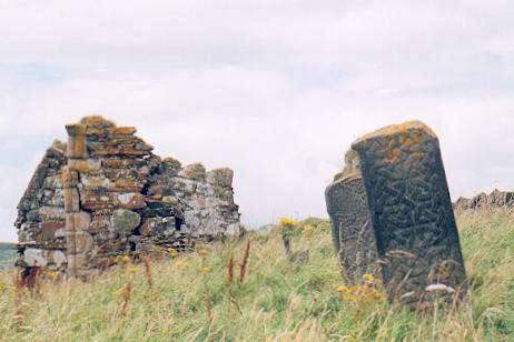
Inishkeel

Gallery (2)
Map
Map
Gallery
Facts and practical information
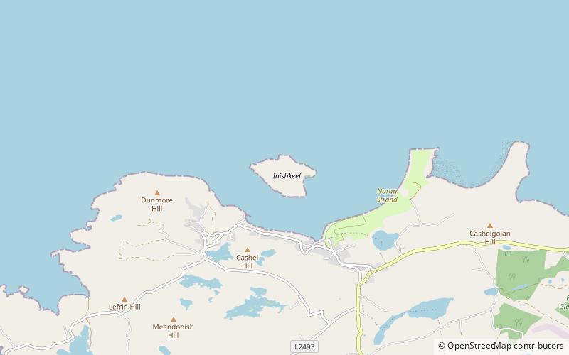
Inishkeel is a small tidal island and a townland off the coast of County Donegal, Ireland. The closest village on the mainland is Narin. ()
Area: 96.62 acres (0.151 mi²)Coordinates: 54°50'51"N, 8°27'22"W
Location
Donegal
ContactAdd
Social media
Add
Day trips

