North Slob
Map
Map

Facts and practical information
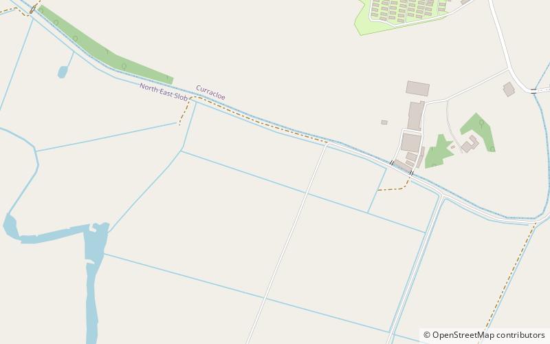
The North Slob is an area of mud-flats at the estuary of the River Slaney at Wexford Harbour, Ireland. The North Slob is an area of 10 km2 that was reclaimed in the mid-19th century by the building of a sea wall. It is the lowest geographical point in the Republic of Ireland ()
Coordinates: 52°22'48"N, 6°22'48"W
Location
Wexford
ContactAdd
Social media
Add
Day trips
North Slob – popular in the area (distance from the attraction)
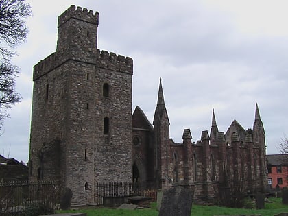
Nearby attractions include: Wexford bridge, The National Opera House, Selskar Abbey, The Bullring Market Wexford.


