Erris Head
Map

Map

Facts and practical information
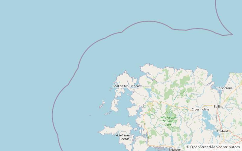
Erris Head is a promontory at the northernmost tip of the Mullet Peninsula, located in the barony of Erris in northwest County Mayo, Ireland. It is a well known and recognised landmark used by mariners and weather forecasters, and is also a scenic viewpoint, with an unobstructed view of the Atlantic Ocean and steep rocky cliffs. It is not served by any road and can only be reached by crossing a number of fields. ()
Location
Mayo
ContactAdd
Social media
Add
Day trips
Erris Head – popular in the area (distance from the attraction)
Nearby attractions include: Eagle Island lighthouses, Eagle Island.


