Mountbolus
Map

Map

Facts and practical information
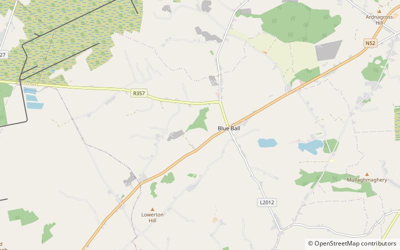
Mountbolus is a small village in the parish of Killoughey situated at the foot of the Slieve Bloom Mountains in County Offaly, Ireland. It has a church, a national school and one public house. ()
Coordinates: 53°13'45"N, 7°37'32"W
Location
Offaly
ContactAdd
Social media
Add
Day trips
Mountbolus – popular in the area (distance from the attraction)
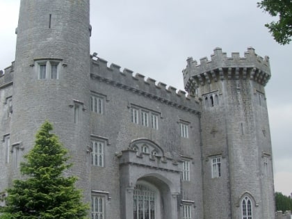
Nearby attractions include: Esker Hills Golf Club, Charleville Castle, Sculpture in the Parklands, Boora Bog.


