Mountcharles
Map

Map

Facts and practical information
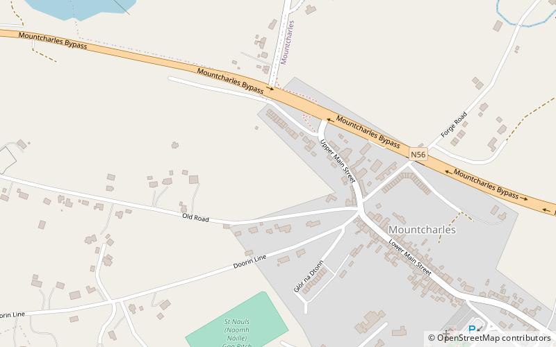
Mountcharles is a townland and a village in the south of County Donegal, Ireland. It lies 6 km from Donegal Town on the Killybegs road. It is situated in the civil parish of Inver and the historic barony of Banagh. The village's name is usually pronounced locally as 'Mount-char-liss'. ()
Location
Donegal
ContactAdd
Social media
Add
Day trips
Mountcharles – popular in the area (distance from the attraction)
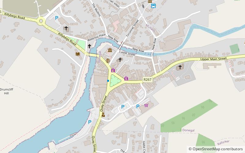
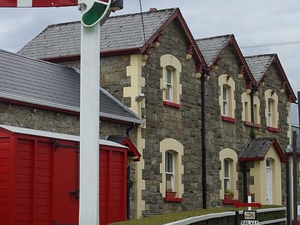
Nearby attractions include: Donegal Castle, Magee of Donegal, Donegal Railway Heritage Centre, Donegal Abbey.


