Coole Park

Gallery (2)
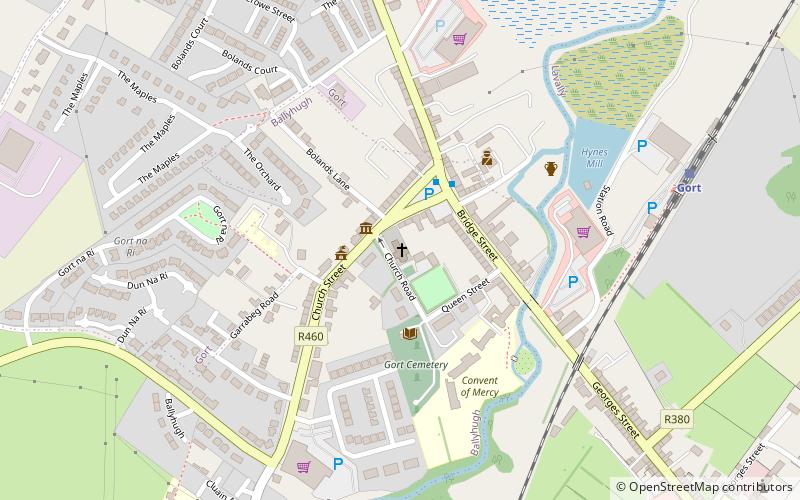
Map
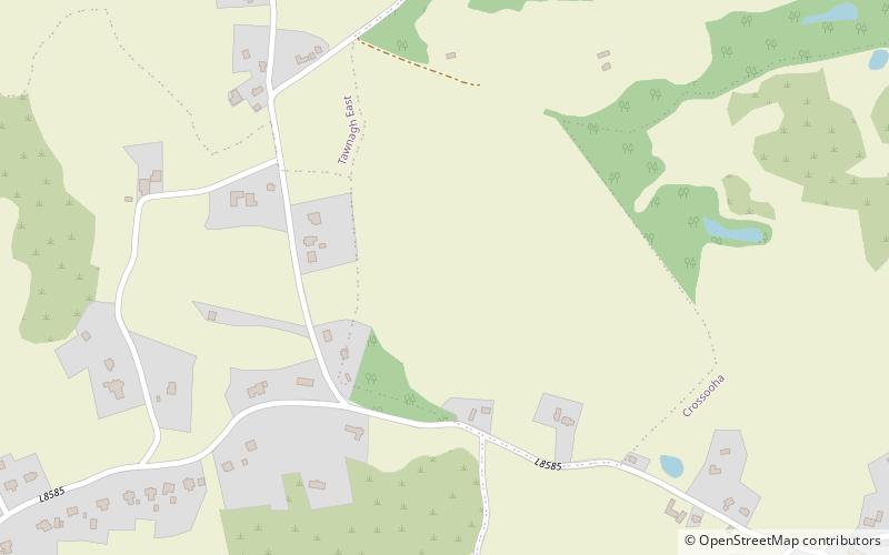
Map
Gallery
Facts and practical information
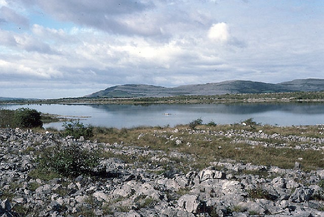
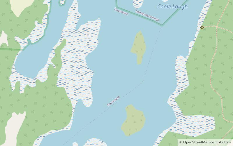
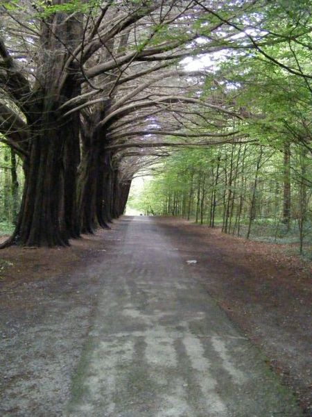
Coole Park is a nature reserve of approximately 1,000 acres located a few miles west of Gort, County Galway, Ireland. It is managed by the Irish National Parks & Wildlife Service, part of the Department of Arts, Heritage and the Gaeltacht. The park is in a low–lying karstic limestone area characterised by seasonal lakes, known as turloughs, which are almost unique to Ireland. It has extensive woodlands. There are 6 kilometres of signposted nature trails plus a formal late 18th century walled garden. ()
Created: XVIII centuryElevation: 30 ft a.s.l.Coordinates: 53°5'6"N, 8°51'13"W
Day trips