Abbey Street, Dublin
Map

Gallery

Facts and practical information
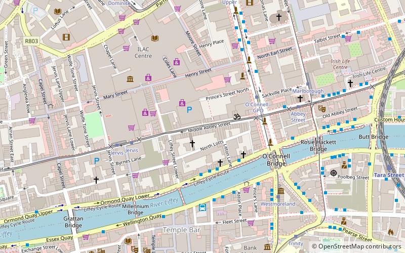
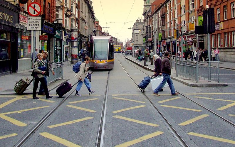
Abbey Street is located on Dublin's Northside, running from the Customs House and Store Street in the east to Capel Street in the west. The street is served by two Luas light rail stops, one at the Jervis shopping centre and the other near O'Connell Street (Abbey Street Luas stop. About 1 km in length, it is divided into Abbey Street Upper, Middle Abbey Street and Abbey Street Lower. ()
Length: 3281 ftCoordinates: 53°20'53"N, 6°15'44"W
Address
Northside (North Inner City)Dublin
ContactAdd
Social media
Add
Day trips
Abbey Street – popular in the area (distance from the attraction)
Nearby attractions include: O'Connell Street, Henry Street, Spire of Dublin, Jervis Shopping Centre.
Frequently Asked Questions (FAQ)
Which popular attractions are close to Abbey Street?
Nearby attractions include The Academy, Dublin (1 min walk), O'Connell Street, Dublin (3 min walk), Henry Street, Dublin (3 min walk), Bachelors Walk, Dublin (3 min walk).
How to get to Abbey Street by public transport?
The nearest stations to Abbey Street:
Bus
Tram
Train
Bus
- Bachelors Walk, Liffey Street • Lines: 145, 26, 52, C3, C4 (2 min walk)
- Bachelors Walk • Lines: 115, 120, 120A, 120B, 120E, 120F, 120X, 126, 126E, 126X, 130, 130A (3 min walk)
Tram
- O'Connell - GPO • Lines: Luas Green Line (3 min walk)
- Jervis • Lines: Luas Red Line (4 min walk)
Train
- Tara Street (9 min walk)
- Dublin Pearse (17 min walk)


