Croughaun Hill
Map

Map

Facts and practical information
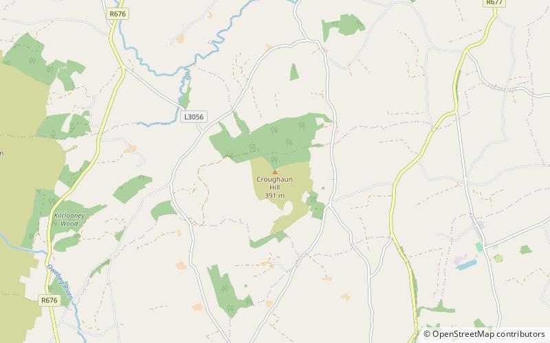
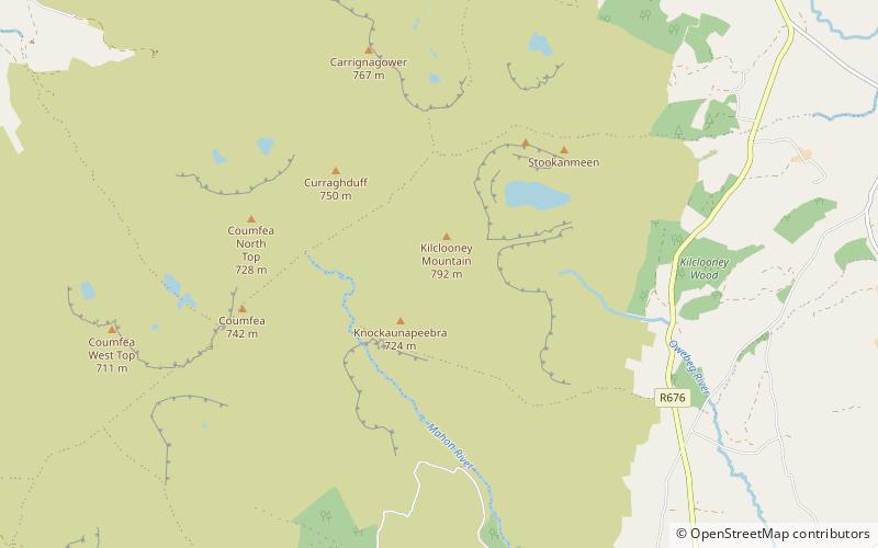
Croughaun Hill is a hill in north County Waterford, Ireland. It is a largely solitary hill to the east of the Comeragh Mountains. ()
Elevation: 1283 ftProminence: 738 ftCoordinates: 52°15'0"N, 7°26'43"W
Location
Waterford
ContactAdd
Social media
Add
Day trips
Croughaun Hill – popular in the area (distance from the attraction)
Nearby attractions include: Comeragh Mountains, Mothel Abbey, Fauscoum, Kilrossanty.


