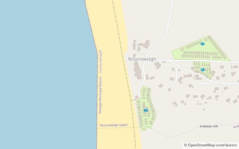
Rossnowlagh

Gallery (2)
Map
Map
Gallery
Facts and practical information
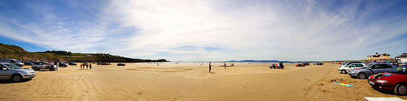
Rossnowlagh is a seaside village in the south of County Donegal, Ireland. It is about 8.5 km north of Ballyshannon and 16 km southwest of Donegal Town. The area's 3 km long beach or 2 km if measuring from the cliffs to Carrickfad which juts out from the headland and is visible at low tide. is frequented by walkers, surfers, windsurfers, kite-surfers and swimmers. ()
Coordinates: 54°33'13"N, 8°12'41"W
Location
Donegal
ContactAdd
Social media
Add
Day trips