Mount Leinster
Map

Map

Facts and practical information
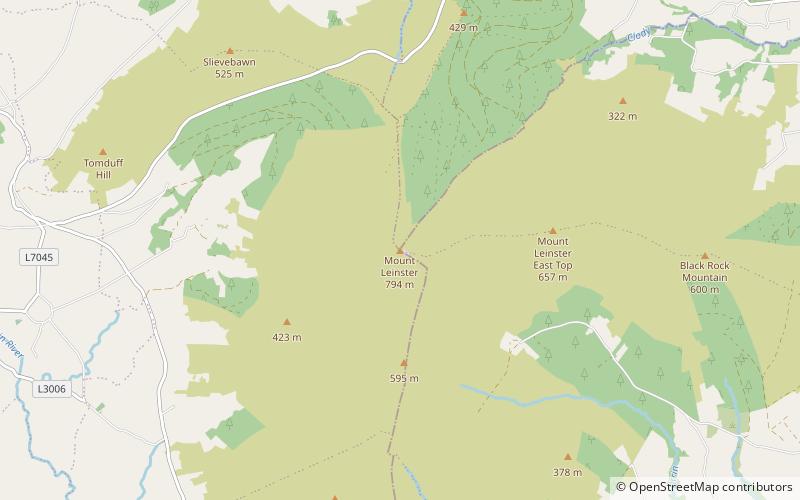
Mount Leinster is a 794-metre-high mountain in the Republic of Ireland. It straddles the border between Counties Carlow and Wexford, in the province of Leinster. It is the fifth-highest mountain in Leinster after Lugnaquilla 925 metres, Mullaghcleevaun 849 metres, Tonelagee 817 metres, and Cloghernagh 800 metres, and the highest of the Blackstairs Mountains. A 2RN transmission site tops the peak with a mast height of 122 metres. ()
Location
Carlow
ContactAdd
Social media
Add
Day trips
Mount Leinster – popular in the area (distance from the attraction)
Nearby attractions include: Huntington Castle, Blackstairs Mountain, Black Rock Mountain, Blackstairs Mountains.


