Knockalongy

Gallery (1)
Map
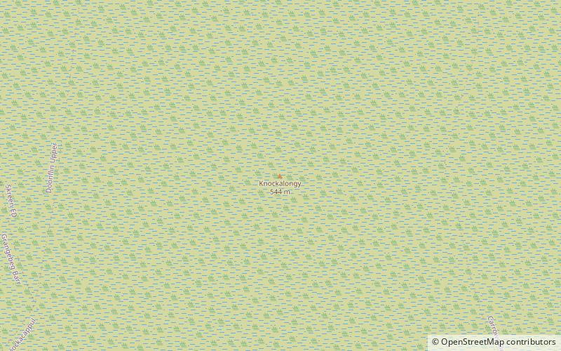
Map
Facts and practical information
Knockalongy is a 544 m Marilyn in County Sligo, Ireland. It is the highest of the Ox Mountains. The nearest village is Skreen. ()
Elevation: 1785 ftProminence: 1608 ftCoordinates: 54°11'39"N, 8°45'37"W
Location
Sligo
ContactAdd
Social media
Add
Day trips