Caher Mountain

Gallery (1)
Map
Map
Facts and practical information
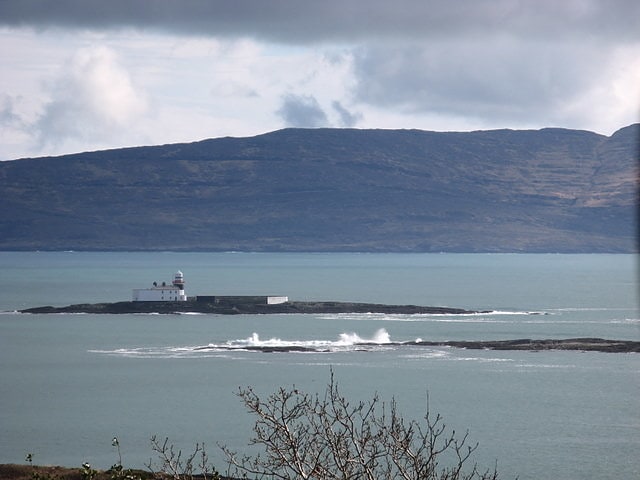
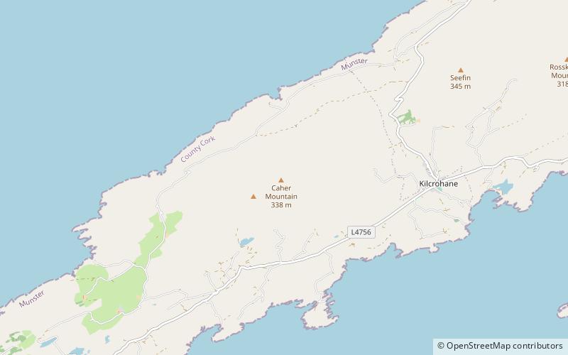
Caher Mountain is a hill, 338 metres high, with views of the Sheep's Head peninsula, roughly west of and above the village of Kilcrohane in County Cork, Ireland. ()
Elevation: 1109 ftProminence: 469 ftCoordinates: 51°34'55"N, 9°44'26"W
Location
Cork
ContactAdd
Social media
Add
Day trips