Killursa
Map

Map

Facts and practical information
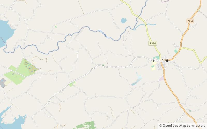
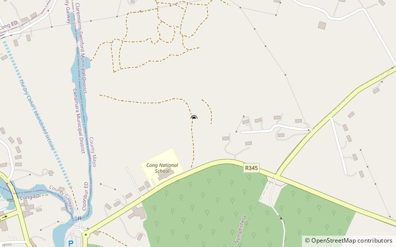
Killursa is a medieval church and National Monument in County Galway, Ireland. The church is located on the outskirts of Westport, about east-northeast of the town of Galway. It has a rectangular mass in the Early Christian or Romanesque style, with an octagonal tower at its northeast corner. The tower was apparently added in the 15th century. The church is datable from the 12th century, and may have been founded by St. Columba. The current structure is from the 16th century. ()
Coordinates: 53°28'4"N, 9°8'42"W
Location
Galway
ContactAdd
Social media
Add
Day trips
Killursa – popular in the area (distance from the attraction)
Nearby attractions include: Aughnanure Castle, Ross Errilly Friary, Annaghdown, Lough Corrib.


