Jackman Park, Limerick

Map
Facts and practical information
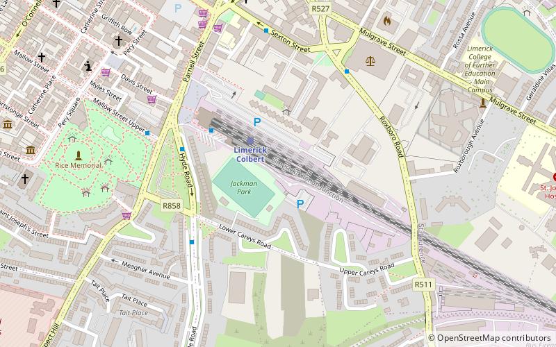
Jackman Park is a football ground in Limerick, Ireland. Located on the Lower Carey's Road, it was home to Limerick F.C. and is regularly used for various matches in Limerick, from schoolboy to women's international games. The ground's total capacity is 2,450 with a single 261-seat stand on the site of the former shed. It is situated next to Limerick railway station which is clearly visible from the shed side. ()
Capacity: 2450Coordinates: 52°39'28"N, 8°37'20"W
Address
Limerick
ContactAdd
Social media
Add
Day trips
Jackman Park – popular in the area (distance from the attraction)
Nearby attractions include: O'Connell Street, King John's Castle, Thomond Park, The Milk Market.
Frequently Asked Questions (FAQ)
Which popular attractions are close to Jackman Park?
Nearby attractions include Limerick City Gallery of Art, Limerick (7 min walk), Pery Square, Limerick (8 min walk), The Georgian House & Garden, Limerick (9 min walk), Frank McCourt Museum, Limerick (10 min walk).
How to get to Jackman Park by public transport?
The nearest stations to Jackman Park:
Train
Bus
Train
- Limerick Colbert (2 min walk)
Bus
- Limerick Bus Station • Lines: 328 (3 min walk)
- Irish Citylink, Henry Street • Lines: Express to Cork, Express to Galway (12 min walk)


