Carrickmines Castle, Dublin
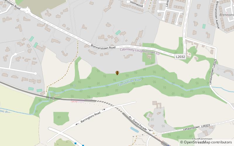
Map

Gallery

Facts and practical information
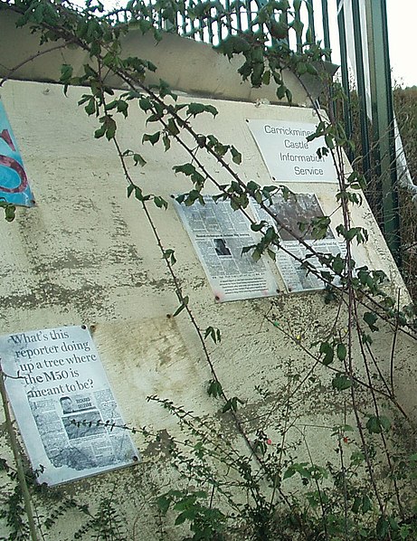
Carrickmines Castle is an archaeological site in Carrickmines, County Dublin, in eastern Ireland. The castle was built in the Middle Ages to protect the English-ruled Pale around Dublin. The mostly subsurface ruins lay in the path of the M50 Motorway, completed in 2005. Sections of the medieval walls and some sections of the castle's defensive structures were preserved within or under M50 roundabouts. ()
Address
Dublin
ContactAdd
Social media
Add
Day trips
Carrickmines Castle – popular in the area (distance from the attraction)
Nearby attractions include: Leopardstown Racecourse, Brennanstown Portal Tomb, Tully Church, Cabinteely.
Frequently Asked Questions (FAQ)
How to get to Carrickmines Castle by public transport?
The nearest stations to Carrickmines Castle:
Bus
Tram
Bus
- Glenamuck Road North • Lines: 63 (9 min walk)
- The Park, Carrickmines • Lines: 63 (9 min walk)
Tram
- Carrickmines • Lines: Luas Green Line (6 min walk)
- Ballyogan Wood • Lines: Luas Green Line (11 min walk)


