Corlea Trackway

Gallery (3)
Map
Map
Gallery
Facts and practical information
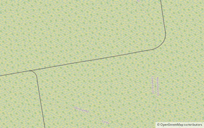
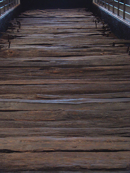
The Corlea Trackway is an Iron Age trackway, or togher, near the village of Keenagh, south of Longford, County Longford, in Ireland. It was known locally as the Danes' Road. It was constructed from oak planks in 148–147 BC, making it contemporary with the Siege of Carthage. ()
Location
Longford
ContactAdd
Social media
Add
Day trips

