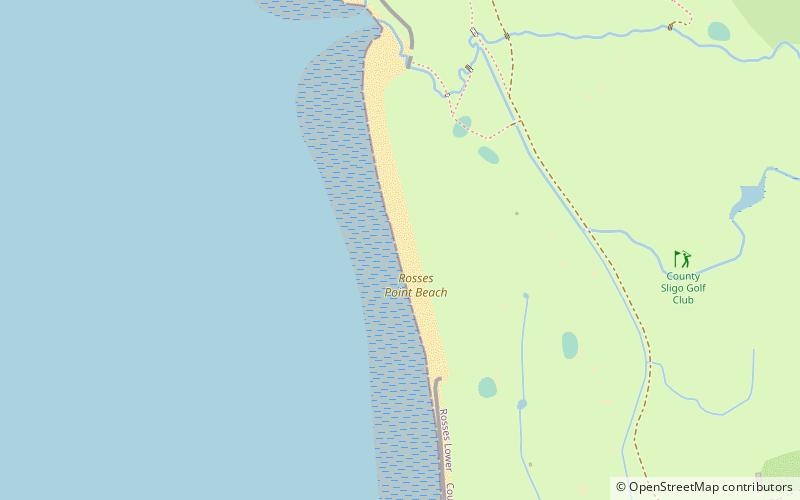
Rosses Point Beach, Rosses Point
Map
Facts and practical information
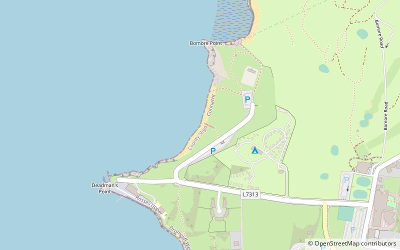
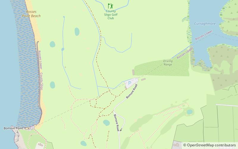
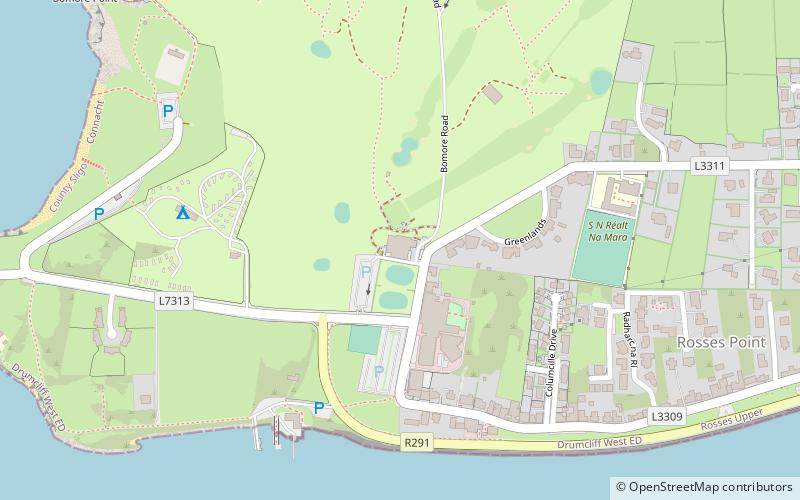
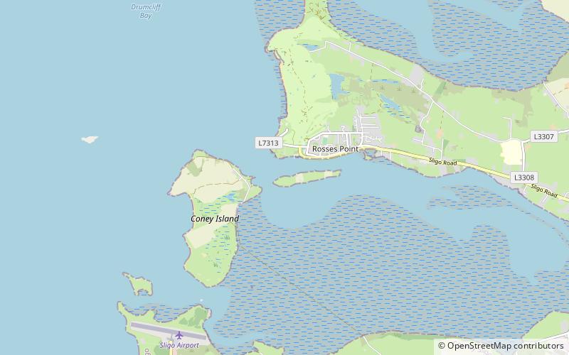
Rosses Point Beach is a place located in Rosses Point (Sligo county) and belongs to the category of beach.
It is situated at an altitude of 13 feet, and its geographical coordinates are 54°18'30"N latitude and 8°34'22"W longitude.
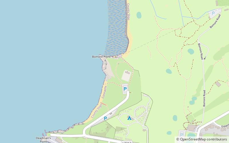
Among other places and attractions worth visiting in the area are: Artillery emplacements (ruins, 3 min walk), County Sligo Golf Club (golf, 8 min walk), Metal Man (lighthouse, 9 min walk).
Coordinates: 54°18'30"N, 8°34'22"W
Day trips


Frequently Asked Questions (FAQ)
Which popular attractions are close to Rosses Point Beach?
Nearby attractions include Artillery emplacements, Rosses Point (3 min walk), Metal Man, Rosses Point (9 min walk), Oyster Island, Rosses Point (12 min walk), Rosses Point Beach, Rosses Point (13 min walk).