Trek Zone

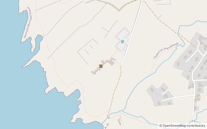
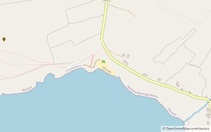
Coumeenoole Bay, Dingle

#2 among attractions in Dingle

Beach, Park, Outdoor activities
Coumeenoole Bay location map
Map

Facts and practical information

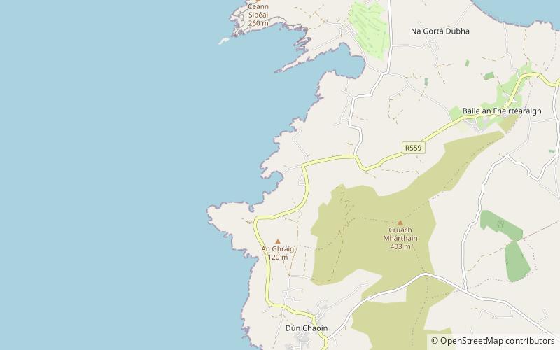
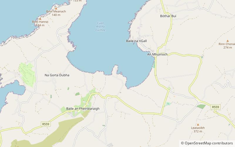
Coumeenoole Bay is a place located in Dingle (Kerry county) and belongs to the category of beach, park, outdoor activities.

It is situated at an altitude of 36 feet, and its geographical coordinates are 52°6'34"N latitude and 10°27'50"W longitude.

Among other places and attractions worth visiting in the area are: Mount Eagle (nature, 38 min walk), The Blasket Centre (specialty museum, 41 min walk), Fahan (archaeological site, 48 min walk).

Elevation: 36 ft a.s.l.Coordinates: 52°6'34"N, 10°27'50"W
Address

Dingle Ireland

ContactAdd
Social media
Add
Day trips

Coumeenoole Bay – popular in the area (distance from the attraction)

Nearby attractions include: Gallarus Oratory, Dunbeg Fort, Clogher Strand, Mount Eagle.

  • gallarus oratory dingle6.5 miNE
  • dunbeg fort ventry2.4 miE
  • clogher strand location map
    3.3 miN
  • mount eagle1.5 miNE
  • wine strand location map
    5.8 miNE
  • fahan1.9 miE
  • inishtooskert5.1 miW
  • reask5.1 miNE
  • ferriters cove4.3 miN
  • gallarus castle6.5 miNE
  • the blasket centre location map
    1.6 miN

Where to next? Visit kerry Kerry region page or discover the top tourist attractions in Ireland.

IrelandCarlowCavanClareCorkDonegalDublinGalwayKerryKildareKilkennyLaoighisLeitrimLimerickLongfordLouthMayoMeathMonaghanOffalyRoscommonSligoTipperaryWaterfordWestmeathWexfordWicklow