Grand Canal Dock, Dublin
Map
Gallery

Facts and practical information
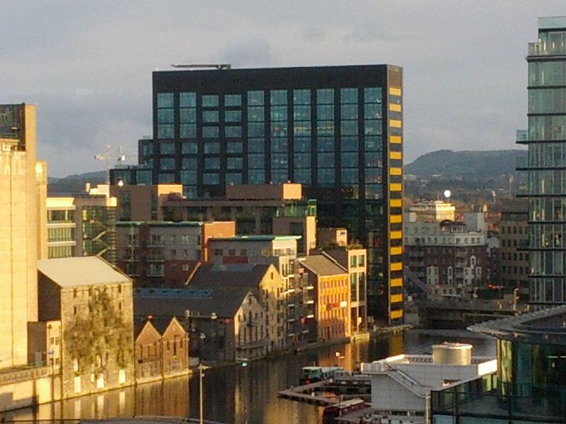
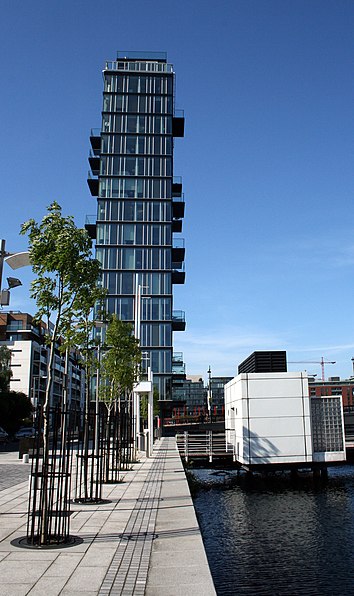
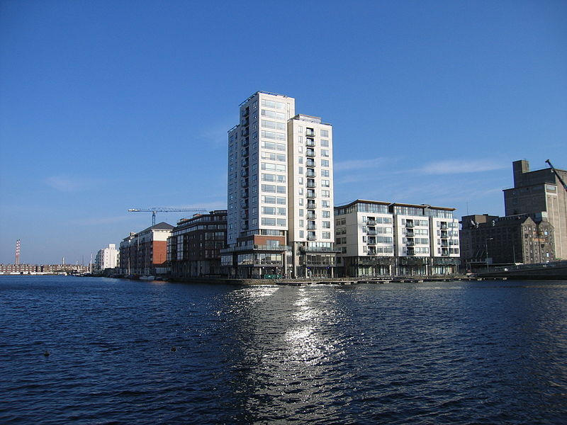
Grand Canal Dock is a Southside area near the city centre of Dublin, Ireland. It is located on the border of eastern Dublin 2 and the westernmost part of Ringsend in Dublin 4, surrounding the Grand Canal Docks, an enclosed harbour where the Grand Canal comes to the River Liffey. The area has undergone significant redevelopment since 2000, as part of the Dublin Docklands area redevelopment project. ()
Coordinates: 53°20'37"N, 6°14'15"W
Day trips
Grand Canal Dock – popular in the area (distance from the attraction)
Nearby attractions include: National Gallery of Ireland, Aviva Stadium, Shelbourne Park, 3Arena.
Frequently Asked Questions (FAQ)
Which popular attractions are close to Grand Canal Dock?
Nearby attractions include Alto Vetro, Dublin (3 min walk), Bord Gáis Energy Theatre, Dublin (3 min walk), Pearse Square, Dublin (5 min walk), Sir John Rogerson's Quay, Dublin (6 min walk).
How to get to Grand Canal Dock by public transport?
The nearest stations to Grand Canal Dock:
Bus
Train
Tram
Bus
- #354 Ringsend Road, Barrow Street • Lines: 1, 15B (3 min walk)
- #353 Pearse Street, Grand Canal Quay • Lines: 1 (3 min walk)
Train
- Grand Canal Dock (7 min walk)
- Dublin Pearse (12 min walk)
Tram
- Spencer Dock • Lines: Luas Red Line (10 min walk)
- Mayor Square - NCI • Lines: Luas Red Line (12 min walk)


