Slieve Aughty
Map
Facts and practical information
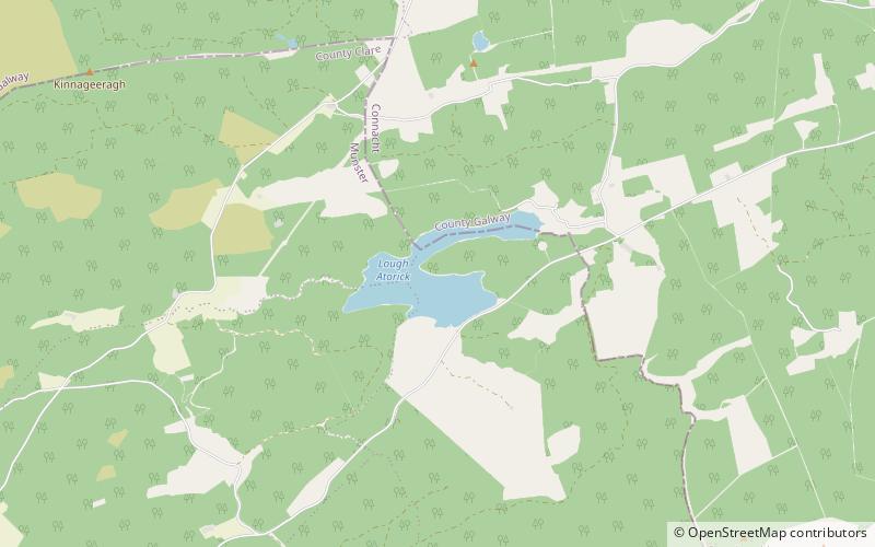
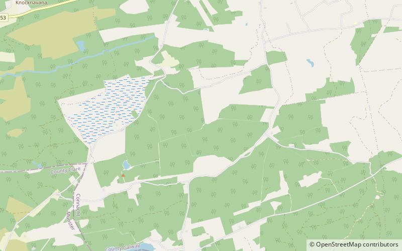
The Slieve Aughty are a mountain range in the western part of Ireland spread over both County Galway and County Clare. The highest peak in the Slieve Aughty Mountains is Maghera in Clare which rises to 400 m. The mountain range consists of two ridges divided by the Owendallaigh river which flows west into Lough Cutra. ()
Maximum elevation: 1312 ftCoordinates: 53°2'60"N, 8°31'0"W
Location
Galway
ContactAdd
Social media
Add
Day trips
Slieve Aughty – popular in the area (distance from the attraction)
Nearby attractions include: Lough Atorick.