Caher Island

Gallery (1)
Map
Map
Facts and practical information
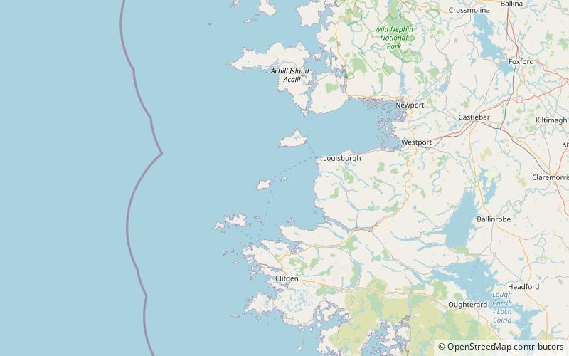
Caher Island, an uninhabited island off the coast of County Mayo in Ireland, is situated between the larger Clare Island and Inishturk. ()
Alternative names: Area: 128.49 acres (0.2008 mi²)Maximum elevation: 200 ftTotal islands: 117Archipelago: Clew BayCoordinates: 53°43'2"N, 10°1'46"W
Location
Mayo
ContactAdd
Social media
Add
Day trips


