Glenroe Farm, Kilcoole

Gallery (1)
Map
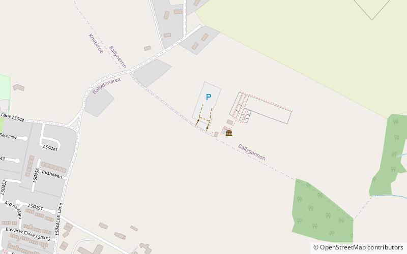
Map
Facts and practical information
Glenroe Farm is a place located in Kilcoole (Wicklow county) and belongs to the category of sightseeing.
It is situated at an altitude of 30 feet, and its geographical coordinates are 53°6'51"N latitude and 6°3'16"W longitude.
Among other places and attractions worth visiting in the area are: Kilcoole Church (church, 16 min walk), Greystones Driving-Range, Greystones (golf, 38 min walk), Druids Glen (golf, 40 min walk).
Coordinates: 53°6'51"N, 6°3'16"W
Day trips