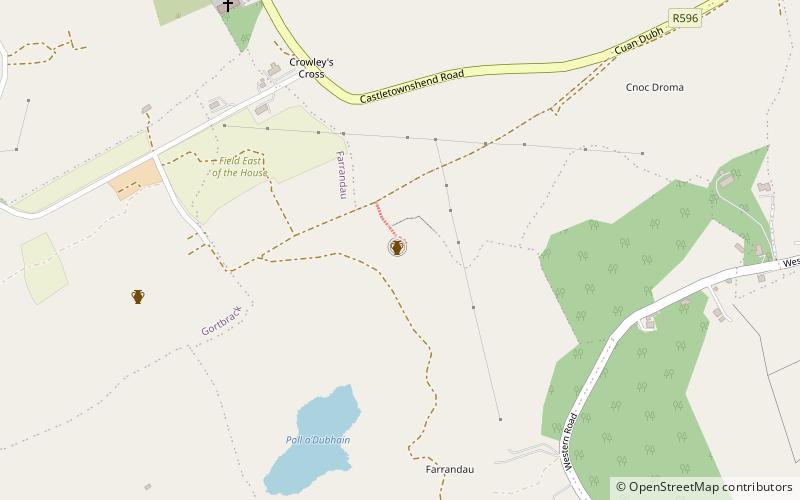
Knockdrum Stone Fort, Castletownshend
Map

Map

Facts and practical information
Knockdrum Stone Fort is a circular stone rath, ringfort, or hill top fort near Castletownshend in County Cork, Ireland. It was restored before 1860, and there were archaeological excavations in 1930–31. The three metre thick walls are reported as either 2 metres or 1.75 metres high depending on the source, and as 29 metres in diameter. The site is owned by the Irish Government which has declared it a national monument. ()
Coordinates: 51°31'35"N, 9°11'37"W
Address
Castletownshend
ContactAdd
Social media
Add
Day trips
Knockdrum Stone Fort – popular in the area (distance from the attraction)
Nearby attractions include: Drombeg stone circle, Lough Hyne, St. Patrick's Cathedral, Coppinger's Court.


