Caha Mountains

Gallery (1)
Map
Map
Facts and practical information
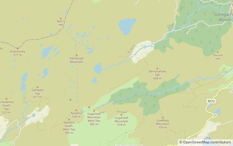
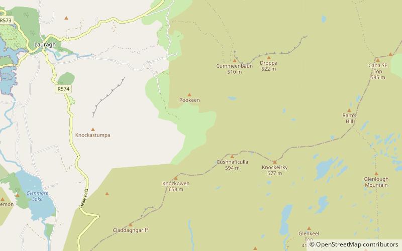
The Caha Mountains are a range of low sandstone mountains situated on the Beara peninsula in south-west County Cork, in Ireland. The highest peak is Hungry Hill, 685 m tall. Other notable peaks include Knocknagree, Sugarloaf Mountain, Eskatarriff, Knocknaveacal, Derryclancy, Nareera, Killane Mountain and Baurearagh Mountain. ()
Location
Cork
ContactAdd
Social media
Add
Day trips