Western Way
Map

Gallery

Facts and practical information
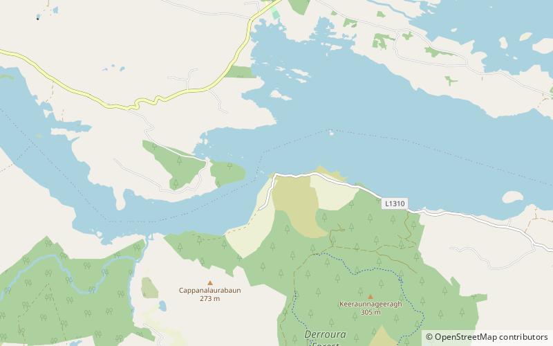
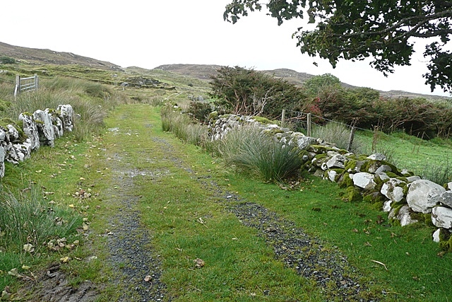
The Western Way is a long-distance trail in Ireland. It is 179 kilometres long and begins in Oughterard, County Galway and ends in Ballycastle, County Mayo. It is typically completed in seven days. It is designated as a National Waymarked Trail by the National Trails Office of the Irish Sports Council and is managed by Coillte, Galway County Council, Mayo County Council, South Mayo Development Company and Mayo North & East Development Company. ()
Length: 111.23 miCoordinates: 53°29'13"N, 9°27'14"W
Location
Galway
ContactAdd
Social media
Add
Day trips
Western Way – popular in the area (distance from the attraction)
Nearby attractions include: Castlekirk, Glengowla Mines, Corcogemore, Lough Shindilla.


