Rathmore Church
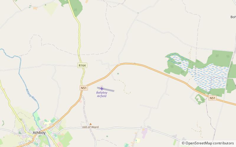
Map

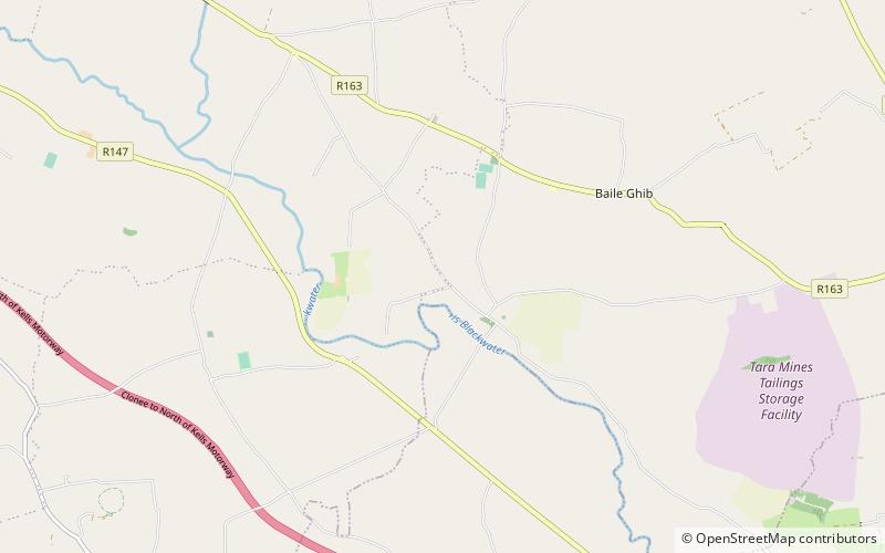
Map

Facts and practical information
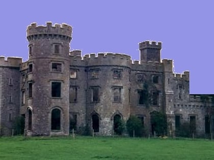
Rathmore Church is a ruined medieval church and National Monument in County Meath, Ireland. It was constructed by the prominent Plunkett living nearby at Rathmore Castle. A modern church 0.5 km to the north-east serving the area was constructed in 1844. Archer and Smith describe it as similar in purpose to other churches constructed at Killeen and Dunsany. ()
Spire height: 39 ftCoordinates: 53°38'36"N, 6°52'21"W
Day trips
Rathmore Church – popular in the area (distance from the attraction)
Nearby attractions include: Hill of Ward, Teltown, Killua Castle, Durhamstown Castle.


