Parknabinnia
#534 among destinations in Ireland

Facts and practical information
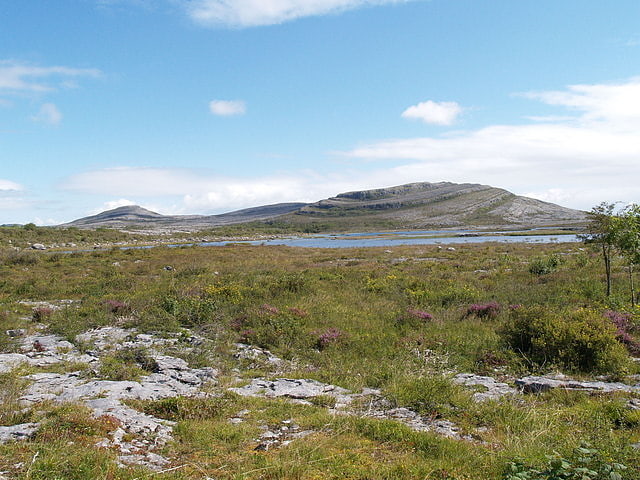
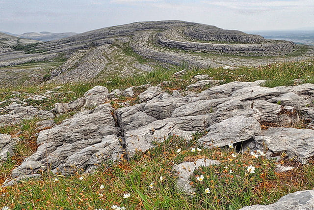
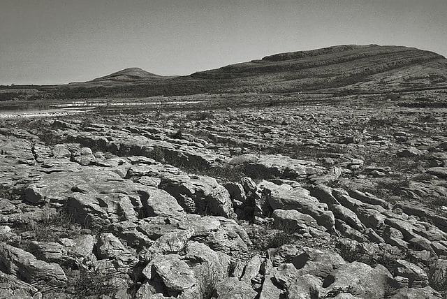
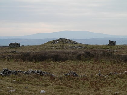
Parknabinnia wedge tomb is a prehistoric wedge tomb located in the Burren area of County Clare, Ireland. ()
ClareIreland
Parknabinnia plan & book
Unleash the traveler in you — discover the cheapest flight deals, find the perfect hotel or hostel nearby, and search for the best car rental prices. Travel at your own pace to discover new places and enjoy your journey.
Parknabinnia – popular in the area (distance from the attraction)
Nearby attractions include: Poulnabrone Dolmen, Burren National Park, Leamaneh Castle, Slieve Rua.
 Archaeological site, Historical place
Poulnabrone Dolmen
117 min walk • Poulnabrone Dolmen stands as a hauntingly evocative portal tomb in the stark limestone landscape of the Burren in County Clare, Ireland. This archaeological marvel, estimated to have been constructed around 3600 BCE during the Neolithic period, serves as a silent...
 Park
ParkBurren National Park, The Burren
103 min walk • Burren National Park is one of six national parks in Ireland, managed by the National Parks and Wildlife Service. It covers a small part of the Burren, a karst landscape in County Clare on the west coast.
 Forts and castles, Architecture, Ruins
Leamaneh Castle
48 min walk • Leamaneh Castle is a ruined castle located in the townland of Leamaneh North, parish of Kilnaboy, between the villages of Corofin and Kilfenora at the border of the region known as the Burren in County Clare, Ireland.
 Mountain
Slieve Rua, The Burren
115 min walk • Slieve Rua is a karst hill in The Burren in County Clare, Ireland. The eccentrically shaped hill is located near Mullaghmore within Burren National Park.
 Historical place, Archaeological site
Caherconnell Stone Fort, Kilfenora
105 min walk • Caherconnell is an exceptionally well-preserved medieval stone ringfort in region known as the Burren, County Clare, Ireland. It lies about 1 km south of the Poulnabrone dolmen.
 Nature, Natural attraction, Mountain
Mullaghmore, The Burren
105 min walk • Mullaghmore is a 180m limestone hill in the Burren in Glenquin, Kilnaboy County Clare, Ireland. It is part of a hiking trail called the Mullaghmore Loop in the Burren National Park.
 Archaeological site
Poulawack Cairn
95 min walk • Poulawack Cairn is a prehistoric burial cairn located in the Burren area of County Clare, Ireland.
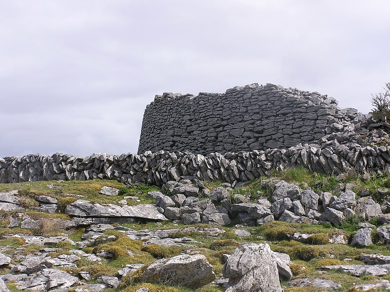
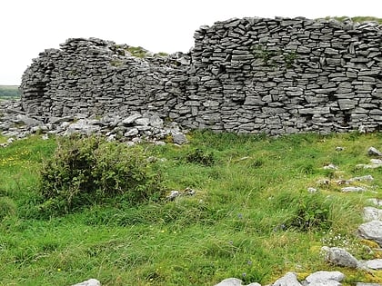 Archaeological site
Cahercommaun, The Burren
54 min walk • Cahercommaun, sometimes Cahercommane, is a triple stone ringfort on the south-east edge of the Burren area, in Kilnaboy, near the rural village of Carran, in County Clare, Ireland. It was built in the 9th century.
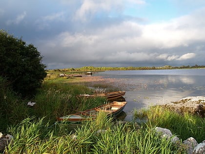 Nature, Natural attraction, Lake
Lough Atedaun
95 min walk • Lough Atedaun is a freshwater lake in the Mid-West Region of Ireland. It is located in The Burren of County Clare.
 Nature, Natural attraction, Lake
Inchiquin Lough
60 min walk • Inchiquin Lough is a freshwater lake in the Mid-West Region of Ireland. It is located in The Burren of County Clare.
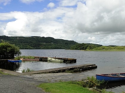
 Nature, Natural attraction, Lake
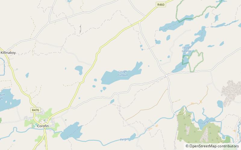
Lough Cullaun
93 min walk • Lough Cullaun is a freshwater lake in the Mid-West Region of Ireland. It is located in The Burren of County Clare.