Letterkenny Institute of Technology, Letterkenny
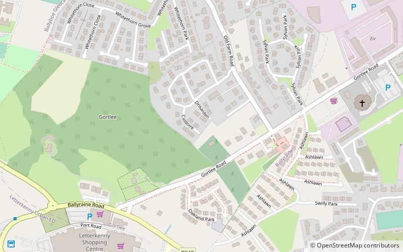
Map
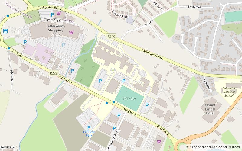
Map

Facts and practical information
Letterkenny Institute of Technology, formerly the Regional Technical College, Letterkenny, was a third level institution designed in the second half of the twentieth century for Donegal and others parts of north-west Ireland. ()
Established: 1971 (55 years ago)Coordinates: 54°57'7"N, 7°43'13"W
Day trips
Letterkenny Institute of Technology – popular in the area (distance from the attraction)
Nearby attractions include: Main Street, Dry Arch Park, Cathedral of St Eunan and St Columba, Conwal Parish Church.
Frequently Asked Questions (FAQ)
Which popular attractions are close to Letterkenny Institute of Technology?
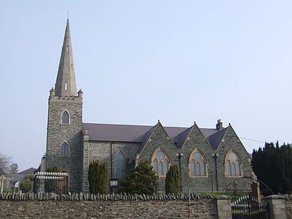
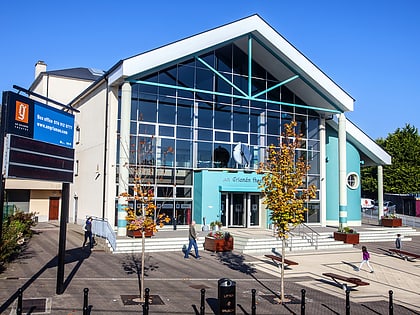
Nearby attractions include Ballyraine, Letterkenny (9 min walk), An Grianán Theatre, Letterkenny (12 min walk), Letterkenny Regional Cultural Centre, Letterkenny (13 min walk), Donegal County Museum, Letterkenny (16 min walk).
How to get to Letterkenny Institute of Technology by public transport?
The nearest stations to Letterkenny Institute of Technology:
Bus
Bus
- Letterkenny Institute of Technology • Lines: 32 (3 min walk)


