Glashagarriff Bridge
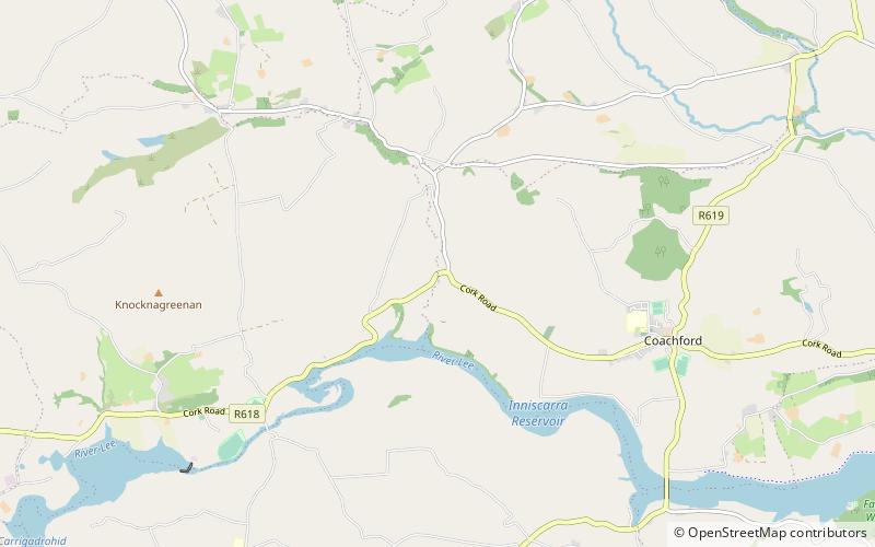
Map
Facts and practical information
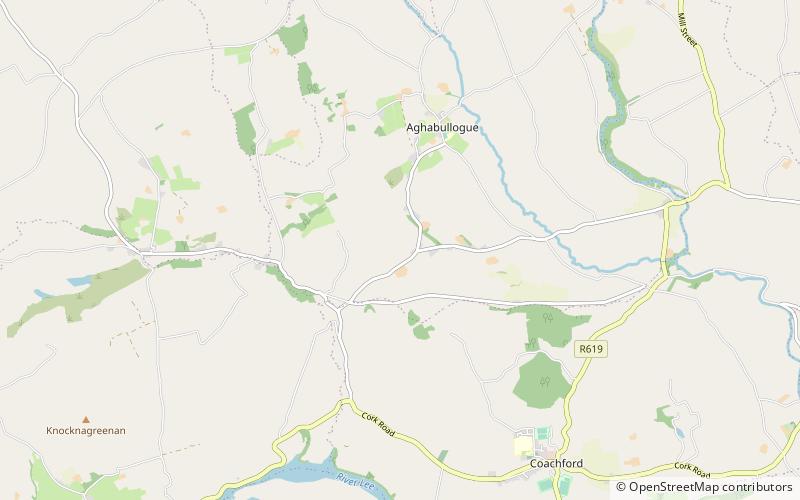
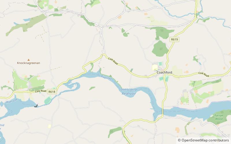
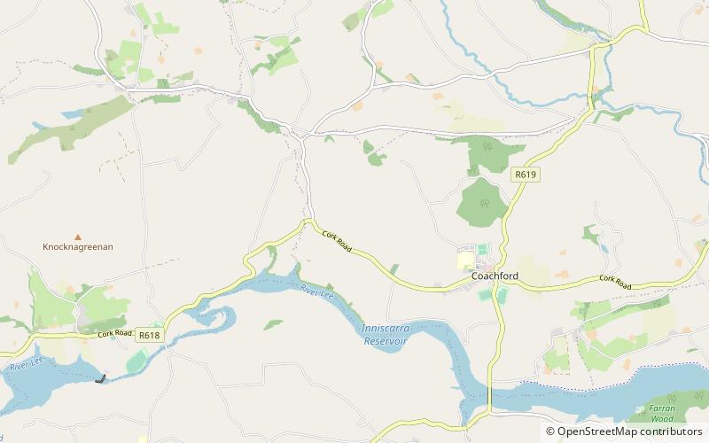
Glashagarriff Bridge situated 2.8 km west of Coachford village in County Cork, Ireland is the meeting point of four townlands, two catholic parishes and two civil parishes. ()
Coordinates: 51°54'57"N, 8°49'30"W
Location
Cork
ContactAdd
Social media
Add
Day trips
Glashagarriff Bridge – popular in the area (distance from the attraction)
Nearby attractions include: Mullinhassig Wood & Waterfalls, Aghavrin Clapper Bridge, Aghavrin, Carhoo Lower.
