Long Island
Map

Map

Facts and practical information
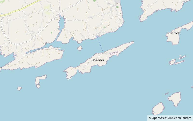
Long Island, historically called Inishfada, is an island that lies south of Schull, County Cork, Ireland. It has a permanent population of no more than 10. The island is named for being 4.8 km long and only 0.8 km wide. It is the third largest of Carbery's Hundred Isles at 1.8 km2, after Sherkin Island and Clear Island. The island’s most distinctive landmark is Copper Point lighthouse at its eastern end, marking the entrance to Schull Harbour. ()
Area: 0.69 mi²Coordinates: 51°29'45"N, 9°33'39"W
Location
Cork
ContactAdd
Social media
Add
Day trips
Long Island – popular in the area (distance from the attraction)
Nearby attractions include: Altar Wedge Tomb, Schull Country Market, Mount Gabriel, Ballydehob.


