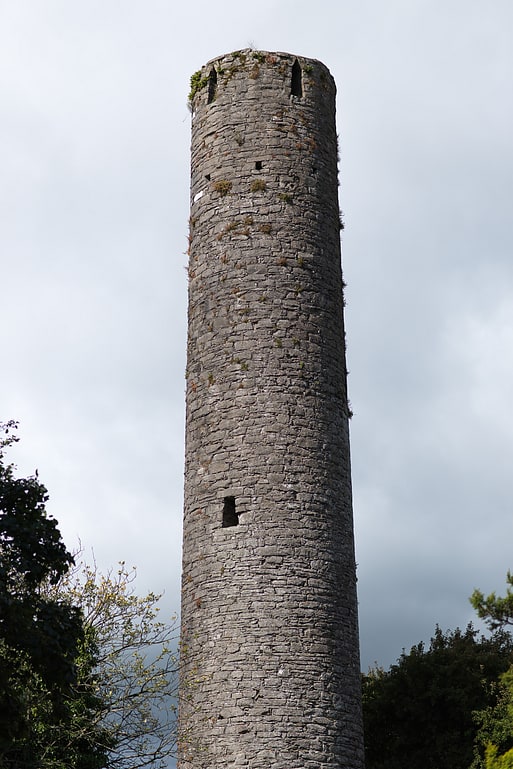
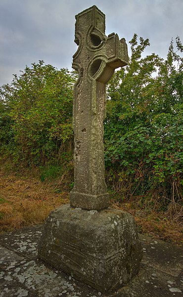
Castlekeeran

Gallery (4)
Map

Map
Gallery
Facts and practical information
Castlekeeran is a former monastery and a National Monument in County Meath, Ireland. ()
Established: VIII centuryCoordinates: 53°44'27"N, 6°57'15"W
Location
Meath
ContactAdd
Social media
Add
Day trips