Carrick Mountain
#385 among destinations in Ireland
![Carrick Mountain location map](https://tzmedia.b-cdn.net/media/images/static-maps/ie/52_9835_-6_16562.jpg)
Facts and practical information
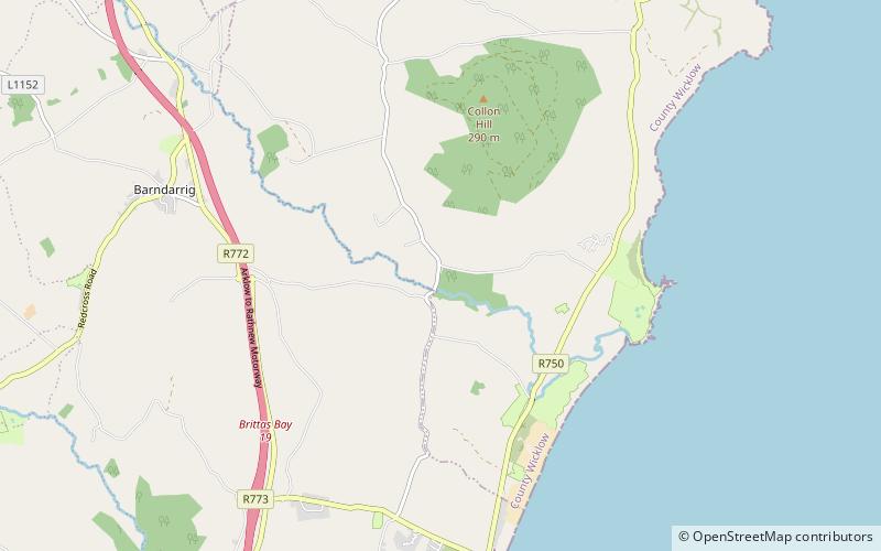
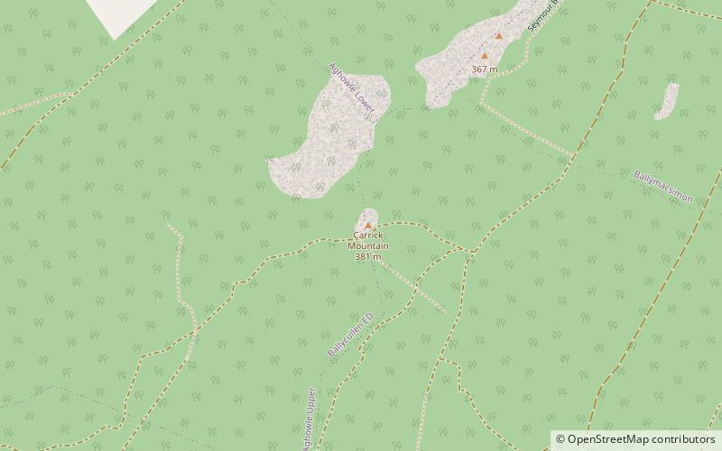
Carrick Mountain is located in the eastern foothills of the Wicklow Mountains in Ireland. Historically it was called Carrigmurrely and Carrickmacreily. ()
WicklowIreland
Carrick Mountain plan & book
Unleash the traveler in you — discover the cheapest flight deals, find the perfect hotel or hostel nearby, and search for the best car rental prices. Travel at your own pace to discover new places and enjoy your journey.
Carrick Mountain – popular in the area (distance from the attraction)
Nearby attractions include: Wicklow Gaol, Avondale House, Mount Usher Gardens, Avondale Forest.
5.3 miEHistorical and heritage tours, Tours, Reportedly hauntedWicklow Gaol, Wicklow
137 min walk • Wicklow Gaol is a former prison, now a museum, located in the town of Wicklow, County Wicklow, Ireland.
5.4 miSWHistorical place, Hiking trail, ParkAvondale House, Glendalough
138 min walk • Avondale House, in Avondale, County Wicklow, Ireland, is the birthplace and home of Charles Stewart Parnell. It is set in the Avondale Forest Park, spanning over 2 km² of land, approximately 1.5 km from the nearby town of Rathdrum.
3 miNEGarden, ParkMount Usher Gardens, Glendalough
77 min walk • Mount Usher Gardens located at Ashford, County Wicklow, Ireland, was laid out in 1868. It is spread on twenty acres of land along River Vartry, having more than 5000 plant species.
5.6 miSWNature, Natural attraction, ForestAvondale Forest
142 min walk • Avondale Forest is a wooded estate in County Wicklow, Ireland, on the west bank of the River Avonmore. It contains the home of Charles Stewart Parnell which was built in 1777 by Samuel Hayes and is now the Parnell Museum.
5.4 miNNature, Natural attraction, LakeVartry Reservoir
139 min walk • Vartry Reservoir is a reservoir at Roundwood in County Wicklow, Ireland. The water is piped from Vartry to a large open service reservoir in Stillorgan in the southern suburbs of Dublin. The reservoir is operated by Irish Water.
5.2 miE 3.1 miNEVillageAshford
79 min walk • Ashford, historically known as Ballymacahara, is a village in County Wicklow, Ireland. It lies on the River Vartry and at the meeting of the R772, R763 and R764 regional roads.
6.7 miSEMemorialCastletimon Ogham Stone
172 min walk • Castletimon Ogham Stone is an ogham stone and National Monument located near Brittas Bay, County Wicklow, Ireland.
4.2 miEVillageRathnew
107 min walk • Rathnew is a village in County Wicklow, Ireland. Located south of the capital Dublin along the M11 between Dublin and Wexford, it is close to the county town of Wicklow, which is situated 3 km to the east.
4.5 miSWVillageRathdrum
115 min walk • Nestled in the heart of the Wicklow region, Rathdrum is a picturesque village that offers visitors a perfect blend of natural beauty and rich history. The village is surrounded by lush green countryside, making it an ideal destination for outdoor enthusiasts and nature...
1.6 miSEVillageGlenealy
42 min walk • Glenealy is a village 8 km west of Wicklow Town, in County Wicklow, on the R752 road. The Dublin–Rosslare railway line also passes through the village.